Approximate Location Map
Large Map »
Latitude: 51.6178 / 51°37'3"N
Longitude: -3.1074 / 3°6'26"W
OS Eastings: 323428
OS Northings: 191575
OS Grid: ST234915
Mapcode National: GBR J1.972R
Mapcode Global: VH7B4.3L3P
Plus Code: 9C3RJV9V+43
Entry Name: Canal Bridge over Monmouthshire and Brecon Canal at Darren Road
Listing Date: 23 December 1998
Last Amended: 23 December 1998
Grade: II
Source: Cadw
Source ID: 21007
Building Class: Transport
Also known as: Canal Bridge over Monmouthshire and Brecon Canal at Darran Road (partly in Crosskeys Community)
ID on this website: 300021007
Location: The easterly of the two remaining bridges in this surviving stretch of canal, E of Risca quarries and by Darren Road.
County: Caerphilly
Community: Risca West (Gorllewin Rhisga)
Community: Risca
Locality: Crosskeys
Built-Up Area: Risca
Traditional County: Monmouthshire
Tagged with: Bridge
In 1790s a consortium of coal owners and industrialists sought Parliamentary approval to build canals to link the industrial areas of the N valleys with Newport on the Usk estuary, the canals in turn to link with a system of feeder tramroads. Bill received assent in 1792 and Monmouthshire Canal Navigation company was formed to build two canals, that in the Western Valley, also known as The Crumlin Arm and 11 miles (17.6km) long, was designed to join the Eastern Valley canal just N of Newport; completed c 1797. Engineer Thomas Dadford. Reservoirs to feed canal constructed in mountain valleys to E. In 1865 the Brecknock and Abergavenny and Monmouthshire Canals merged to become the Monmouthshire and Brecon Canal which was later incorporated into the Great Western Railway. Much of the Western Valley canal has been filled in to provide a by-pass road but a section survives stretching from the S side of Cwmcarn, the community boundary with Abercarn, to Darren Road, the community boundary with Risca.
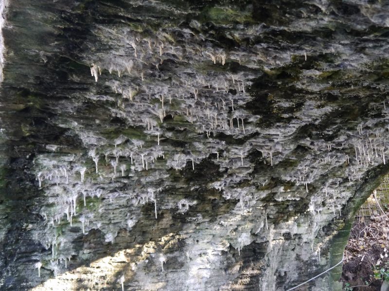
Bridge of rubble angled to the steep slope. Segmental arch has thin voussoirs and low parapet with flat coping. The abutments curve outwards ending in square piers. 2 lozenge-shaped cast iron weight restriction notices. Former towpath passed under bridge on S side where there is a stone kerb. Canal now blocked immediately to E of bridge.
Listed as an intact canal bridge from late C18.
External links are from the relevant listing authority and, where applicable, Wikidata. Wikidata IDs may be related buildings as well as this specific building. If you want to add or update a link, you will need to do so by editing the Wikidata entry.


Other nearby listed buildings
