History in Structure

Former Tramroad Bridge (partly in Penmaen Community)

A Grade II Listed Building in Pontllanfraith, Caerphilly

More Photos »
Approximate Location Map
Large Map »

Coordinates

Latitude: 51.6632 / 51°39'47"N

Longitude: -3.1831 / 3°10'59"W

OS Eastings: 318269

OS Northings: 196714

OS Grid: ST182967

Mapcode National: GBR HY.6D19

Mapcode Global: VH6DF.SG39

Plus Code: 9C3RMR78+7Q

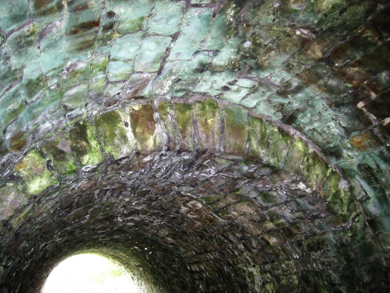
Entry Name: Former Tramroad Bridge (partly in Penmaen Community)

Listing Date: 31 March 1999

Last Amended: 31 March 1999

Grade: II

Source: Cadw

Source ID: 21631

Building Class: Transport

ID on this website: 300021631

Location: E of the main thoroughfare from Penmaen/Oakdale to Pontllanfraith (B4251), crossing the country lane to Cwm Philkins

County: Caerphilly

Community: Penmaen

Community: Penmaen

Built-Up Area: Blackwood

Traditional County: Monmouthshire

Find accommodation in
Mynyddislwyn

Exterior

See Record Number 18728 in Penmaen Community for full description of this bridge.

External Links

External links are from the relevant listing authority and, where applicable, Wikidata. Wikidata IDs may be related buildings as well as this specific building. If you want to add or update a link, you will need to do so by editing the Wikidata entry.

Recommended Books

Other nearby listed buildings

  • II Former Tramroad Bridge (partly in Pontllanfraith Community)
    E of the main thoroughfare from Penmaen/Oakdale to Pontllanfraith (B4251) near Woodfieldside, crossing the country lane to Cwm Philkins.
  • II Iron Bridge in grounds of Woodfield Park
    In the grounds of Woodfield Park, about 300m SSE of the house over a steeply sided stream.
  • II War Memorial
    Sited in a small terraced enclosure in open ground in front of Caerphilly Borough Council Offices.
  • II Cwmbrynar aka Cwmbraenar Cottage
    Approximately 0.75km E of Pontllanfraith and the Sirhowy River. Set back from the main road behind rubble walled and gated forecourt.
  • II* Blackwood Miners Welfare Institute
    At the N end of High Street approximately 240m S of the parish church.
  • II Penmaen House
    Reached by a short track from the main thoroughfare between Penmaen and Pontllanfraith, part of the very small historic core of Penmaen and SW of the later Model Village development.
  • II Cyncoed Farm Cottage
    On the hillside, the E slope of Cwm Philkins, reached by a lane leading S from Oakdale village and a short farm track.
  • II Former Mynyddislwyn Urban District Council Offices
    In the centre of Pontllanfraith, facing the site of the former railway station and dismantled railway; standing on a walled and railed terrace a little above the roadway with steps to right and vehicu

BritishListedBuildings.co.uk is an independent online resource and is not associated with any government department. All government data published here is used under licence. Please do not contact BritishListedBuildings.co.uk for any queries related to any individual listed building, planning permission related to listed buildings or the listing process itself.

British Listed Buildings is a Good Stuff website.