Approximate Location Map
Large Map »
Latitude: 51.8786 / 51°52'42"N
Longitude: -2.7912 / 2°47'28"W
OS Eastings: 345634
OS Northings: 220297
OS Grid: SO456202
Mapcode National: GBR FH.RS9B
Mapcode Global: VH794.K1SQ
Plus Code: 9C3VV6H5+CG
Entry Name: The Old Shop
Listing Date: 19 March 2001
Last Amended: 19 March 2001
Grade: II
Source: Cadw
Source ID: 25045
Building Class: Domestic
ID on this website: 300025045
Location: In the centre of Skenfrith village, approximately 50m SE of the Church of St Bridget, with Skenfrith Castle to the front and the church to the rear.
County: Monmouthshire
Town: Monmouth
Community: Llangattock-Vibon-Avel (Llangatwg Feibion Afel)
Community: Skenfrith
Traditional County: Monmouthshire
Tagged with: Building
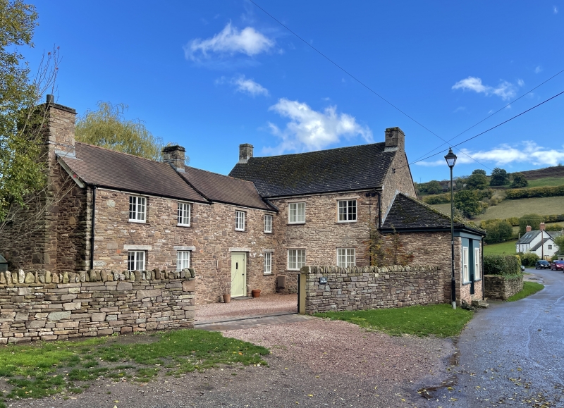
Probably earlier C18 in origin, a small village house, to which a shop was added in the C19. Now entirely a private dwelling.
A neat rubble-built small house of C18 proportions standing at right-angles to the road with its back towards the church. Walls of roughly-coursed small random rubble (the left gable rendered), roof of small brown clay tiles. It has a double-depth 2-unit plan on an NE-SW axis facing SE, with a large lean-to extension to its SW gable (facing the road), a smaller lean-to at at the other gable, and a rear wing to the E bay. The 2-storey, 2-window facade has a plain square-headed doorway offset slightly left of centre, with a 4-panel door, a small oblong 3-light casement to the right, a small square 2-light casement to the left and two similar 2-light casements at 1st floor, vertically-aligned above the ground-floor windows. All these windows have small-paned glazing, and they appear disproportionately small and widely-spaced in relation to the width of the facade. There is a gable chimney at each end of the roof. The lean-to facing the street, formerly a shop, has a doorway flanked by a pair of large fixed windows, and a hipped tiled roof. The small lean-to at the other end has a doorway with a 4-panel door.The rear of the E bay has a casement window at ground floor, small fixed window next to the junction with the wing, and 2 casements above. The rear wing has one casement window on each floor and a C20 garage doorway to the N of these.
Not inspected.
Included for its intrinsic vernacular quality and for its group value in relation to the church, the castle and the house called Sarn on the opposite side of the road.
External links are from the relevant listing authority and, where applicable, Wikidata. Wikidata IDs may be related buildings as well as this specific building. If you want to add or update a link, you will need to do so by editing the Wikidata entry.


Other nearby listed buildings
