Approximate Location Map
Large Map »
Latitude: 53.3248 / 53°19'29"N
Longitude: -3.8329 / 3°49'58"W
OS Eastings: 278020
OS Northings: 382436
OS Grid: SH780824
Mapcode National: GBR 1YNZ.ZW
Mapcode Global: WH64Y.3P3J
Plus Code: 9C5R85F8+WV
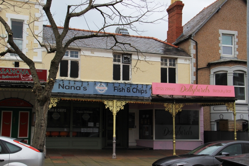
Entry Name: 19, Chapel Street, Llandudno, LL30 2SY
Listing Date: 16 March 1976
Last Amended: 6 June 2001
Grade: II
Source: Cadw
Source ID: 25380
Building Class: Domestic
ID on this website: 300025380
Location: Near junction with Gloddaeth Street.
County: Conwy
Community: Llandudno
Community: Llandudno
Built-Up Area: Llandudno
Traditional County: Caernarfonshire
Tagged with: Building
Late C19 corner building.
Listed for Group Value with attached listed building.
External links are from the relevant listing authority and, where applicable, Wikidata. Wikidata IDs may be related buildings as well as this specific building. If you want to add or update a link, you will need to do so by editing the Wikidata entry.


Other nearby listed buildings
