Approximate Location Map
Large Map »
Latitude: 51.9502 / 51°57'0"N
Longitude: -3.3914 / 3°23'29"W
OS Eastings: 304466
OS Northings: 228887
OS Grid: SO044288
Mapcode National: GBR YP.M7DP
Mapcode Global: VH6BZ.57FS
Plus Code: 9C3RXJ25+3C
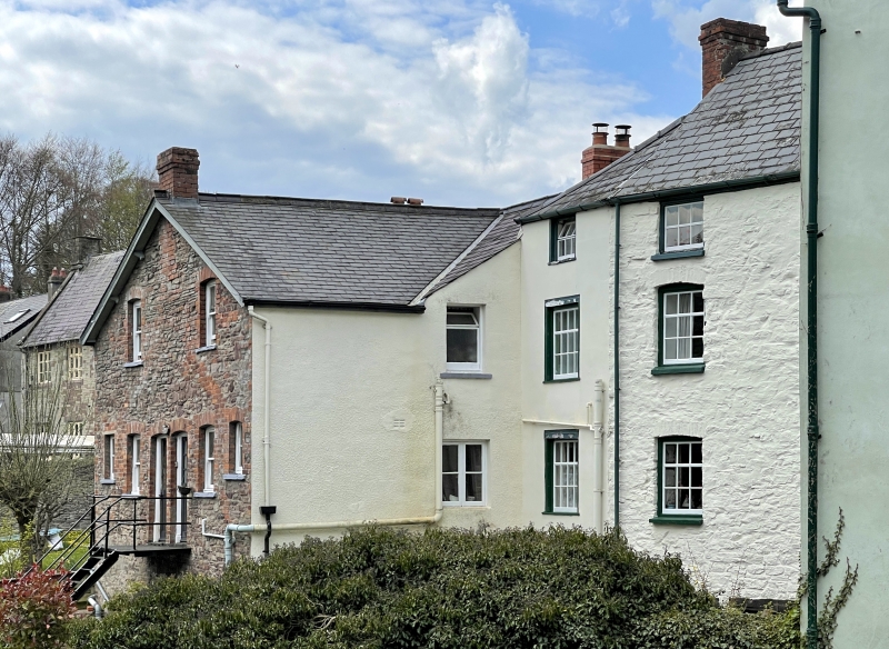
Entry Name: 14, Priory Hill
Listing Date: 16 December 1976
Last Amended: 4 November 2005
Grade: II
Source: Cadw
Source ID: 85616
ID on this website: 300085616
Location: At right angles to Priory Hill, part of a row backing onto River Honddu.
County: Powys
Town: Brecon
Community: Brecon (Aberhonddu)
Community: Brecon
Built-Up Area: Brecon
Traditional County: Brecknockshire
Tagged with: Building
Early C19.
Included for Group Value with adjacent listed buildings in Priory Hill and The Struet to rear.
External links are from the relevant listing authority and, where applicable, Wikidata. Wikidata IDs may be related buildings as well as this specific building. If you want to add or update a link, you will need to do so by editing the Wikidata entry.


Other nearby listed buildings
