Approximate Location Map
Large Map »
Latitude: 51.9468 / 51°56'48"N
Longitude: -3.3896 / 3°23'22"W
OS Eastings: 304586
OS Northings: 228505
OS Grid: SO045285
Mapcode National: GBR YP.MFW2
Mapcode Global: VH6BZ.6BDD
Plus Code: 9C3RWJW6+P5
Entry Name: 6, The Bulwark
Listing Date: 16 December 1976
Last Amended: 4 November 2005
Grade: II
Source: Cadw
Source ID: 85696
ID on this website: 300085696
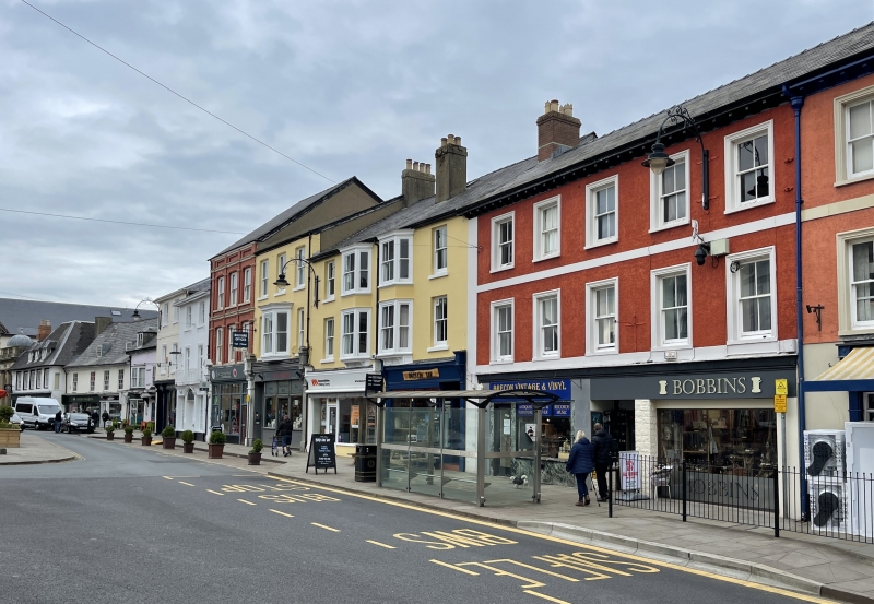
Location: Near the centre of the NE side of the Bulwark. Street numbers of properties on NE side of the Bulwark are incorrectly marked on OS Map.
County: Powys
Town: Brecon
Community: Brecon (Aberhonddu)
Community: Brecon
Built-Up Area: Brecon
Traditional County: Brecknockshire
Tagged with: Building
Mid C19 pair of buildings making short terrace.
No 6 has a 5-window front.
Short terrace with mid-Victorian character contributing to historic fabric of Brecon. Group Value with nearby listed buildings.
External links are from the relevant listing authority and, where applicable, Wikidata. Wikidata IDs may be related buildings as well as this specific building. If you want to add or update a link, you will need to do so by editing the Wikidata entry.


Other nearby listed buildings
