Approximate Location Map
Large Map »
Latitude: 51.9445 / 51°56'40"N
Longitude: -3.3854 / 3°23'7"W
OS Eastings: 304871
OS Northings: 228244
OS Grid: SO048282
Mapcode National: GBR YP.MNWW
Mapcode Global: VH6BZ.8DN5
Plus Code: 9C3RWJV7+RR
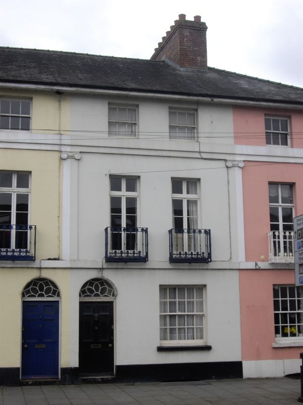
Entry Name: 70, The Watton
Listing Date: 16 January 1952
Last Amended: 4 November 2005
Grade: II
Source: Cadw
Source ID: 85713
ID on this website: 300085713
Location: On corner with Charles Street.
County: Powys
Town: Brecon
Community: Brecon (Aberhonddu)
Community: Brecon
Built-Up Area: Brecon
Traditional County: Brecknockshire
Tagged with: Building
Early to mid C19 terrace. Not shown on 1834 Plan of Brecknock. No.72 restored to original appearance since inspected in 1976.
Well-detailed and preserved early-to-mid C19 group of houses. Group Value with other listed buildings in The Watton.
External links are from the relevant listing authority and, where applicable, Wikidata. Wikidata IDs may be related buildings as well as this specific building. If you want to add or update a link, you will need to do so by editing the Wikidata entry.


Other nearby listed buildings
