Approximate Location Map
Large Map »
Latitude: 51.9441 / 51°56'38"N
Longitude: -3.3843 / 3°23'3"W
OS Eastings: 304942
OS Northings: 228192
OS Grid: SO049281
Mapcode National: GBR YP.MP51
Mapcode Global: VH6BZ.9D6J
Plus Code: 9C3RWJV8+J7
Entry Name: 84, The Watton
Listing Date: 16 December 1976
Last Amended: 4 November 2005
Grade: II
Source: Cadw
Source ID: 85728
ID on this website: 300085728
Location: Near junction with John Street.
County: Powys
Town: Brecon
Community: Brecon (Aberhonddu)
Community: Brecon
Built-Up Area: Brecon
Traditional County: Brecknockshire
Tagged with: Building
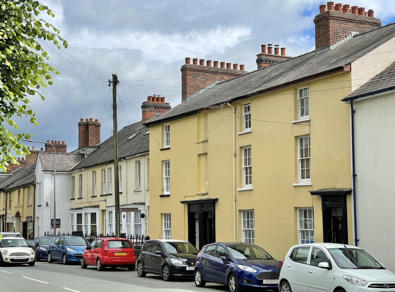
Early to mid C19.
Nos.85 and 86 with doorways paired in centre, No.85 with windows to right hand.
Well-preserved row earlier C19 row with group value with adjacent buildings in The Watton.
External links are from the relevant listing authority and, where applicable, Wikidata. Wikidata IDs may be related buildings as well as this specific building. If you want to add or update a link, you will need to do so by editing the Wikidata entry.


Other nearby listed buildings
