History in Structure

Parish Boundary Stone on Dam Wall at SJ 9316 7373

A Grade II Listed Building in Higher Hurdsfield, Cheshire East

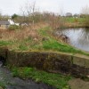
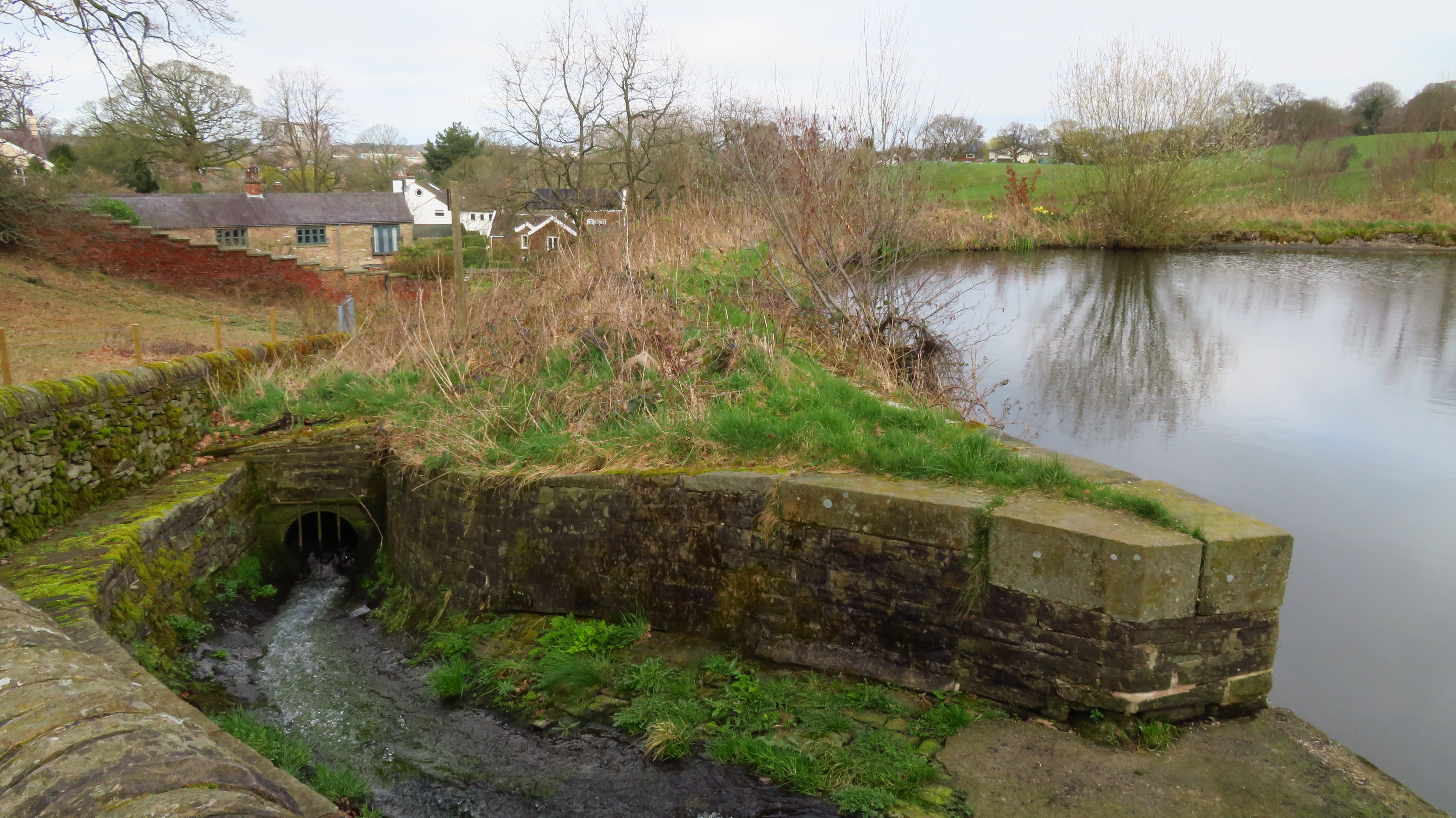
Parish Boundary Stone on Dam Wall at SJ 9316 7373 (view of Dam Wall)

Uploader's Comments

This is the dam wall but the area is out of bounds with an overflow channel at the foot of the photograph which makes finding the boundary stone near on impossible. with much of the vegetation dead at present (March 2024) I should have been able to see it from the public footpath alongside but no luck. the parish boundary does run along the public footpath but the historic NLS shows the boundary through the middle of the reservoir.

Uploaded by Colin Park on 18 March 2024

https://disqus.com/by/disqus_nrXkHoeQ1p/

Photo ID: 356948
Building ID: 101236441
Report this photo

Photo Navigator

BritishListedBuildings.co.uk is an independent online resource and is not associated with any government department. All government data published here is used under licence. Please do not contact BritishListedBuildings.co.uk for any queries related to any individual listed building, planning permission related to listed buildings or the listing process itself.

British Listed Buildings is a Good Stuff website.