Approximate Location Map
Large Map »
Latitude: 51.4765 / 51°28'35"N
Longitude: -3.4014 / 3°24'4"W
OS Eastings: 302773
OS Northings: 176211
OS Grid: ST027762
Mapcode National: GBR HM.LC4H
Mapcode Global: VH6F9.046Z
Plus Code: 9C3RFHGX+HF
Entry Name: Churchyard Wall of Church of St Donat
Listing Date: 21 December 2004
Last Amended: 21 December 2004
Grade: II
Source: Cadw
Source ID: 83405
Building Class: Religious, Ritual and Funerary
ID on this website: 300083405
Location: Surrounding the Church of St Donat in the centre of the village of Welsh St Donats.
County: Vale of Glamorgan
Town: Cowbridge
Community: Welsh St. Donats (Llanddunwyd)
Community: Welsh St. Donats
Locality: Welsh St Donats
Traditional County: Glamorgan
Tagged with: Churchyard wall
Possibly C18 in origin with C19 and C20 repairs and rebuilding.
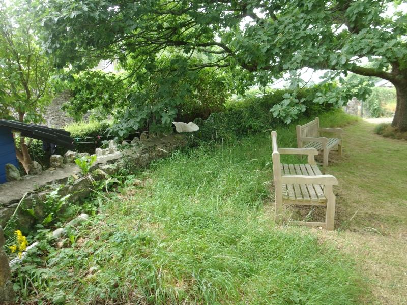
Wall of local lias limestone rubble about 1.5m in height which surrounds the churchyard and is set on a bank on the north, east and west sides. The entrance is on the south side where there are modern double gates, and the wall bounds some houses at the south-east corner.
Included for its special historic interest as a well preserved churchyard wall having group value with the Church of St. Donat and Great House.
External links are from the relevant listing authority and, where applicable, Wikidata. Wikidata IDs may be related buildings as well as this specific building. If you want to add or update a link, you will need to do so by editing the Wikidata entry.


Other nearby listed buildings
