Approximate Location Map
Large Map »
Latitude: 52.5711 / 52°34'16"N
Longitude: -0.2384 / 0°14'18"W
OS Eastings: 519485
OS Northings: 298490
OS Grid: TL194984
Mapcode National: GBR HZQ.SMF
Mapcode Global: WHHNK.9MQS
Plus Code: 9C4XHQC6+CJ
Entry Name: Wall to Gravel Walk
Listing Date: 7 May 1973
Grade: II
Source: Historic England
Source ID: 1161519
English Heritage Legacy ID: 49650
ID on this website: 101161519
Location: Peterborough, Cambridgeshire, PE1
County: City of Peterborough
Electoral Ward/Division: Central
Parish: Non Civil Parish
Built-Up Area: Peterborough
Traditional County: Northamptonshire
Lieutenancy Area (Ceremonial County): Cambridgeshire
Tagged with: Wall
PETEBBOROUGH
1.
1500
PRECINCTS
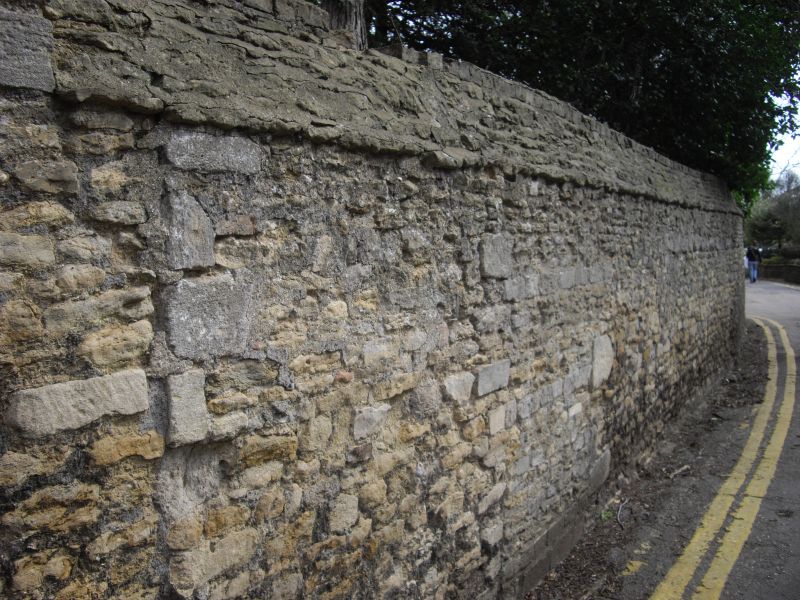
Wall to Gravel Walk
TL 1998 SW 3/359
TL 1998 SE 21/359
II
2.
Rubble wall, containing remains of blocked doorway with fragmented column
with capital. May date book to Cl4.
Listing NGR: TL1948598490
External links are from the relevant listing authority and, where applicable, Wikidata. Wikidata IDs may be related buildings as well as this specific building. If you want to add or update a link, you will need to do so by editing the Wikidata entry.


Other nearby listed buildings
