Approximate Location Map
Large Map »
Latitude: 54.9755 / 54°58'31"N
Longitude: -1.618 / 1°37'4"W
OS Eastings: 424551
OS Northings: 564611
OS Grid: NZ245646
Mapcode National: GBR SNM.JF
Mapcode Global: WHC3R.36TJ
Plus Code: 9C6WX9GJ+6R
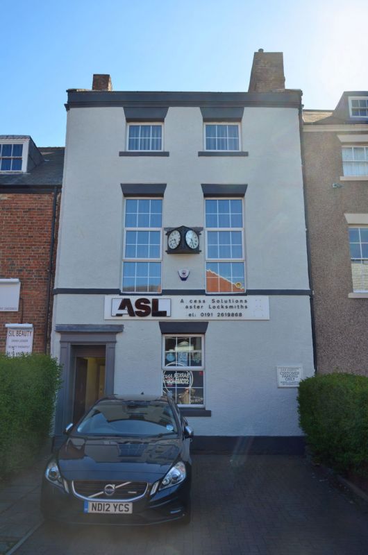
Entry Name: 18-26, Leazes Park Road
Listing Date: 30 March 1987
Grade: II
Source: Historic England
Source ID: 1024832
English Heritage Legacy ID: 304682
ID on this website: 101024832
Location: Newcastle Helix, Newcastle upon Tyne, Tyne and Wear, NE1
County: Newcastle upon Tyne
Electoral Ward/Division: Westgate
Parish: Non Civil Parish
Built-Up Area: Newcastle upon Tyne
Traditional County: Northumberland
Lieutenancy Area (Ceremonial County): Tyne and Wear
Church of England Parish: Newcastle St Andrew
Church of England Diocese: Newcastle
Tagged with: Terrace of houses
NZ 2464 NE NEWCASTLE UPON TYNE LEAZES PARK ROAD
(east side)
16/361 Nos. 18-26 even
G.V. II
Terrace of houses. Late C18 - early C19. Brick, Nos. 20-26 pebbledashed. Welsh
slate roofs; brick chimneys. Each 2 storeys, 2 bays. Altered doors, Nos. 22 and
24 paired, No. 26 in plain pilaster-and-entablature doorcase. Wedge stone lintels
and stone sills to sash windows with glazing bars; No. 20 and second floor of
No. 26 have C20 glazing, and some glazing bars have been removed.
Listing NGR: NZ2455164611
External links are from the relevant listing authority and, where applicable, Wikidata. Wikidata IDs may be related buildings as well as this specific building. If you want to add or update a link, you will need to do so by editing the Wikidata entry.


Other nearby listed buildings
