Latitude: 50.9175 / 50°55'3"N
Longitude: -0.4506 / 0°27'2"W
OS Eastings: 509008
OS Northings: 114262
OS Grid: TQ090142
Mapcode National: GBR GJX.DWG
Mapcode Global: FRA 96YP.28P
Plus Code: 9C2XWG9X+2Q
Entry Name: Brook House
Listing Date: 15 March 1955
Grade: II
Source: Historic England
Source ID: 1027228
English Heritage Legacy ID: 298803
ID on this website: 101027228
Location: Storrington, Horsham, West Sussex, RH20
County: West Sussex
District: Horsham
Civil Parish: Storrington and Sullington
Built-Up Area: Storrington
Traditional County: Sussex
Lieutenancy Area (Ceremonial County): West Sussex
Church of England Parish: Storrington St Mary
Church of England Diocese: Chichester
Tagged with: House
STORRINGTON MANLEY'S HILL 1. (north side) 5404 Brook House TQ 0814 TQ 0914 22/543 15.3.55
II
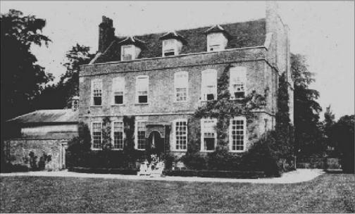
2. Early C19. Two storeys and basement above ground level. Five windows. Stone. The two westernmost window bays recessed and stuccoed. Tiled roof. Windows with Venetian shutters and glazing bars intact. Porch at head of flight of steps.
Listing NGR: TQ0900814262
External links are from the relevant listing authority and, where applicable, Wikidata. Wikidata IDs may be related buildings as well as this specific building. If you want to add or update a link, you will need to do so by editing the Wikidata entry.


Other nearby listed buildings