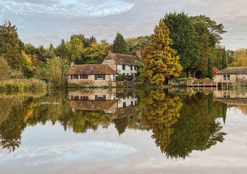
Latitude: 50.9607 / 50°57'38"N
Longitude: -0.5124 / 0°30'44"W
OS Eastings: 504570
OS Northings: 118974
OS Grid: TQ045189
Mapcode National: GBR GJ7.P9D
Mapcode Global: FRA 96TK.VL4
Plus Code: 9C2XXF6Q+72
Entry Name: Old Place Manor
Listing Date: 15 March 1955
Last Amended: 9 May 1980
Grade: II
Source: Historic England
Source ID: 1027373
English Heritage Legacy ID: 298541
ID on this website: 101027373
Location: Pulborough, Horsham, West Sussex, RH20
County: West Sussex
District: Horsham
Civil Parish: Pulborough
Built-Up Area: West Chiltington Common
Traditional County: Sussex
Lieutenancy Area (Ceremonial County): West Sussex
Church of England Parish: Pulborough St Mary
Church of England Diocese: Chichester
Tagged with: Manor house
PULBOROUGH COOMBELANDS LANE 1. 5404 Old Place Manor (Formerly listed as Old Place and outbuildings to west) TQ 0418 17/697 15.3.55
II
2. C15, modernised and almost entirely rebuilt externally in brick, now painted. Southernmos window-bay added about 1860 with a modern additional storey. Back of the house facing east has four narrow gables, tile-hung, one containing two storeys. Casement windows with diamond-shaped or small square panes, one window having two tiers of three lights with wooden mullions and transoms. Tiled roof. Two storeys. Five windows. The north portion of the house has a C16 roof and a kitchen fire-place with bake-oven. Modern ground floor addition beyond that. Medieval features inside.
Listing NGR: TQ0457018974
External links are from the relevant listing authority and, where applicable, Wikidata. Wikidata IDs may be related buildings as well as this specific building. If you want to add or update a link, you will need to do so by editing the Wikidata entry.


Other nearby listed buildings