Latitude: 50.8701 / 50°52'12"N
Longitude: -0.5222 / 0°31'19"W
OS Eastings: 504081
OS Northings: 108880
OS Grid: TQ040088
Mapcode National: GBR GKD.6T4
Mapcode Global: FRA 96SS.Y39
Plus Code: 9C2XVFCH+24
Entry Name: The White House
Listing Date: 20 September 1984
Grade: II
Source: Historic England
Source ID: 1027659
English Heritage Legacy ID: 297791
ID on this website: 101027659
Location: Burpham, Arun, West Sussex, BN18
County: West Sussex
District: Arun
Civil Parish: Burpham
Traditional County: Sussex
Lieutenancy Area (Ceremonial County): West Sussex
Church of England Parish: Burpham St Mary the Virgin
Church of England Diocese: Chichester
Tagged with: House
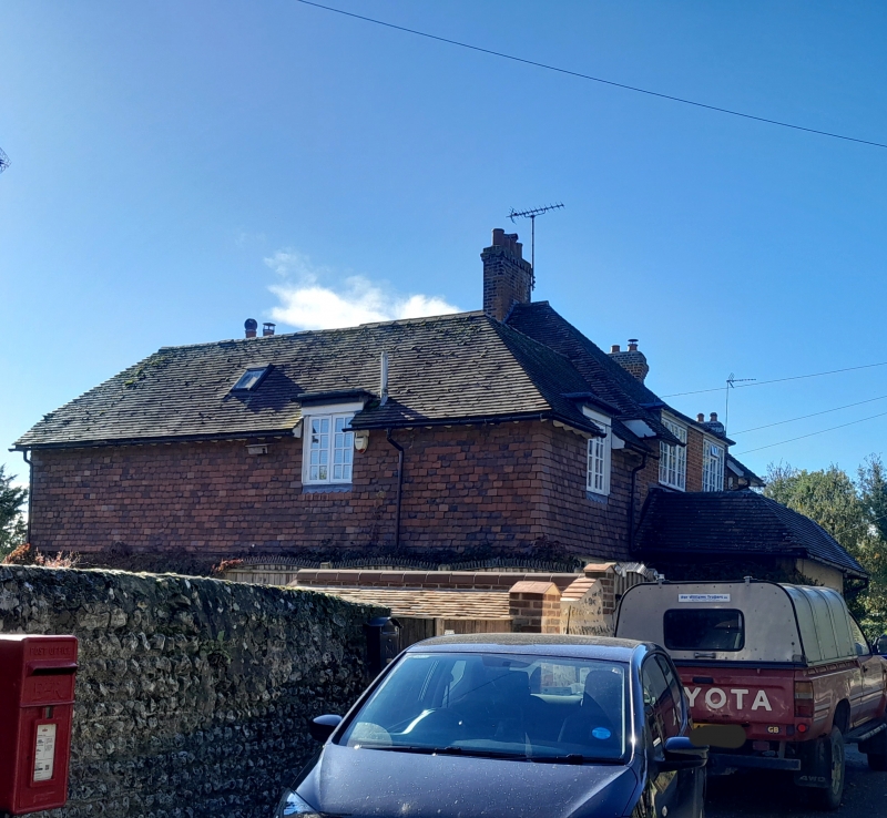
TQ 0408 BURPHAM THE STREET
29/219
The White House
II
L-shaped C18 house, altered in C19. Two storeys and attic. Three windows. Two
hipped dormers. North wing stuccoed, south west wing faced with flints, now painted.
Tiled roof. Casement windows. Porch containing a doorway with door of six moulded
fielded panels.
Listing NGR: TQ0408108880
External links are from the relevant listing authority and, where applicable, Wikidata. Wikidata IDs may be related buildings as well as this specific building. If you want to add or update a link, you will need to do so by editing the Wikidata entry.


Other nearby listed buildings