Latitude: 51.3041 / 51°18'14"N
Longitude: -1.5908 / 1°35'27"W
OS Eastings: 428619
OS Northings: 156188
OS Grid: SU286561
Mapcode National: GBR 604.0MN
Mapcode Global: VHC2B.CHV4
Plus Code: 9C3W8C35+JM
Entry Name: Scot's Poor
Listing Date: 30 July 1986
Grade: II
Source: Historic England
Source ID: 1033994
English Heritage Legacy ID: 310929
ID on this website: 101033994
Location: Wiltshire, SP11
County: Wiltshire
Civil Parish: Tidcombe and Fosbury
Traditional County: Wiltshire
Lieutenancy Area (Ceremonial County): Wiltshire
Tagged with: Building Thatched cottage
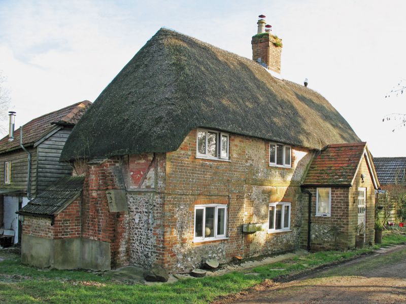
TIDCOMBE AND FOSBURY CHUTE CAUSEWAY SU 25 NE 9/205 Scot's Poor II Cottage. C18, altered C19. Flint with brick dressings, thatched roof. 2-storey 2 bays, extended left by further bay partly timberframed and with hipped roof. Rear lean-to. Lobby entry plan. Central door with glazed panel within lean-to porch. 3- light timber casement windows replacing earlier windows with brick lintels and keystones. Plat band. Right gable rebuilt early C20. Central stack, and stack to extension. Rear single storey wing on left.
Listing NGR: SU2861956188
External links are from the relevant listing authority and, where applicable, Wikidata. Wikidata IDs may be related buildings as well as this specific building. If you want to add or update a link, you will need to do so by editing the Wikidata entry.