Latitude: 52.7753 / 52°46'31"N
Longitude: -2.574 / 2°34'26"W
OS Eastings: 361372
OS Northings: 319905
OS Grid: SJ613199
Mapcode National: GBR 7Q.YC7S
Mapcode Global: WH9CN.FHHP
Plus Code: 9C4VQCGG+49
Entry Name: High House Farmhouse
Listing Date: 8 April 1983
Grade: II
Source: Historic England
Source ID: 1038618
English Heritage Legacy ID: 362104
ID on this website: 101038618
Location: Rowton, Telford and Wrekin, Shropshire, TF6
County: Telford and Wrekin
Civil Parish: Ercall Magna
Traditional County: Shropshire
Lieutenancy Area (Ceremonial County): Shropshire
Church of England Parish: Rowton All Hallows
Church of England Diocese: Lichfield
Tagged with: Farmhouse
ERCALL MAGNA ROWTON 1. 5362 High House Farmhouse
SJ 61 NW 22/241
II
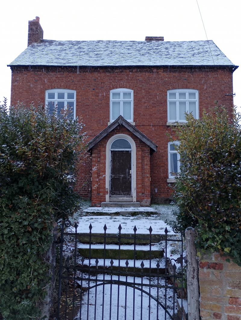
2. Late C18/early C19 red brick house. Tiled roof with gabled ends and brick dentil eaves course. Two storeys. Three window range. Modern casements in original openings with segmental brick arches. Central panelled door in plain doorcase, and late C19 brick gabled porch. Brick end stack.
Listing NGR: SJ6137219905
External links are from the relevant listing authority and, where applicable, Wikidata. Wikidata IDs may be related buildings as well as this specific building. If you want to add or update a link, you will need to do so by editing the Wikidata entry.


Other nearby listed buildings