Approximate Location Map
Large Map »
Latitude: 52.1135 / 52°6'48"N
Longitude: -2.0067 / 2°0'24"W
OS Eastings: 399634
OS Northings: 246125
OS Grid: SO996461
Mapcode National: GBR 2JQ.HGP
Mapcode Global: VHB0S.54GN
Plus Code: 9C4V4X7V+98
Entry Name: 4, the Green
Listing Date: 3 August 1972
Grade: II
Source: Historic England
Source ID: 1039153
English Heritage Legacy ID: 443334
ID on this website: 101039153
Location: Fladbury, Wychavon, Worcestershire, WR10
County: Worcestershire
District: Wychavon
Civil Parish: Fladbury
Built-Up Area: Fladbury
Traditional County: Worcestershire
Lieutenancy Area (Ceremonial County): Worcestershire
Church of England Parish: Fladbury, Hill and Moor, Wyre Piddle, Cropthorne and Charlton
Church of England Diocese: Worcester
Tagged with: Building
1.
2301
SO 94 NE
10/429
FLADBURY
FLADBURY
The Green
No 4
II
GV
2.
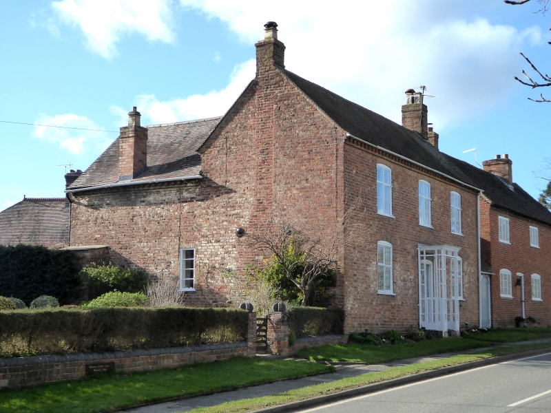
C18. Brick. 2-storeys. 3 windows. Casements with segmental heads. Centre
door, panelled, moulded case. Brick dentil eaves. New tile roof with gable
ends. Group value.
Nos 1 to 4 (consec) The Green form a group.
Listing NGR: SO9963446125
External links are from the relevant listing authority and, where applicable, Wikidata. Wikidata IDs may be related buildings as well as this specific building. If you want to add or update a link, you will need to do so by editing the Wikidata entry.


Other nearby listed buildings
