Approximate Location Map
Large Map »
Latitude: 53.3669 / 53°22'0"N
Longitude: -1.988 / 1°59'16"W
OS Eastings: 400895
OS Northings: 385562
OS Grid: SK008855
Mapcode National: GBR GYKH.DR
Mapcode Global: WHBB5.FMKP
Plus Code: 9C5W9286+QR
Entry Name: 3 and 5, Laneside Road
Listing Date: 19 September 1977
Grade: II
Source: Historic England
Source ID: 1039888
English Heritage Legacy ID: 81841
ID on this website: 101039888
Location: Low Leighton, High Peak, Derbyshire, SK22
County: Derbyshire
District: High Peak
Civil Parish: New Mills
Built-Up Area: New Mills
Traditional County: Derbyshire
Lieutenancy Area (Ceremonial County): Derbyshire
Church of England Parish: New Mills St George
Church of England Diocese: Derby
Tagged with: Building
NEW MILLS LANESIDE ROAD
1.
5172
(East Side)
Low Leighton
SK 0085 1/103 Nos 3 and 5
II
2.
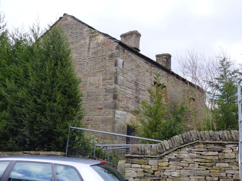
C18 house of 2 storeys in coursed stone with stone slate roof. 2 windows of 3 mullion
lights on both floors. Door to No 5 has stone lintel, while that to No 3 has a
pediment-shaped stone lintel and rusticated quoins.
Listing NGR: SK0089585562
External links are from the relevant listing authority and, where applicable, Wikidata. Wikidata IDs may be related buildings as well as this specific building. If you want to add or update a link, you will need to do so by editing the Wikidata entry.


Other nearby listed buildings
