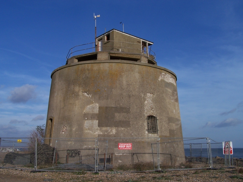
Latitude: 50.7873 / 50°47'14"N
Longitude: 0.3306 / 0°19'50"E
OS Eastings: 564376
OS Northings: 101226
OS Grid: TQ643012
Mapcode National: GBR NWG.DG3
Mapcode Global: FRA C7L0.DMS
Plus Code: 9F22Q8PJ+W6
Entry Name: Martello Tower East of Langney Priory
Listing Date: 17 May 1971
Grade: II
Source: Historic England
Source ID: 1043660
English Heritage Legacy ID: 293529
ID on this website: 101043660
Location: Eastbourne, East Sussex, BN23
County: East Sussex
District: Eastbourne
Parish: Non Civil Parish
Built-Up Area: Eastbourne
Traditional County: Sussex
Lieutenancy Area (Ceremonial County): East Sussex
Church of England Parish: Eastbourne, St Richard Langney
Church of England Diocese: Chichester
Martello Tower North 1. of Langney Point 1065 TQ 60 SW 13/35 II
2. Used for defence purposes during the 1939/45 war. Flat gun emplacements were constructed on the roof.
Listing NGR: TQ6437601226


Other nearby listed buildings