Latitude: 50.8229 / 50°49'22"N
Longitude: 0.3849 / 0°23'5"E
OS Eastings: 568075
OS Northings: 105306
OS Grid: TQ680053
Mapcode National: GBR NW4.854
Mapcode Global: FRA C6PX.PR4
Plus Code: 9F22R9FM+5X
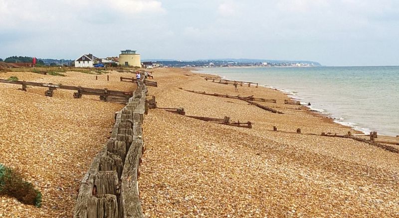
Entry Name: Martello Tower No 55, South of Beachside, Normans Bay
Listing Date: 23 August 1976
Grade: II
Source: Historic England
Source ID: 1044268
English Heritage Legacy ID: 291960
ID on this website: 101044268
Location: Normans' Bay, Rother, East Sussex, BN24
County: East Sussex
District: Rother
Parish: Bexhill-on-Sea
Traditional County: Sussex
Lieutenancy Area (Ceremonial County): East Sussex
Church of England Parish: Pevensey St Nicholas
Church of England Diocese: Chichester
1. Martello Tower No 55,
5207 south of Beachside,
Normans Bay
TQ 60 NE 4/35
II
2.
One of a series of circular towers erected in 1806 for defence purposes during an invasion
scare. The walls are built of brick and are 5½-6 ft thick, covered with a coating
of cement. Doorway originally 20 ft above ground. Flat roof for gun emplacement.
This has been altered and added to for defence arrangements in the 1939-45 war.
The interior comprised a magazine and 2 floors above this.
Listing NGR: TQ6807505306