Approximate Location Map
Large Map »
Latitude: 51.7499 / 51°44'59"N
Longitude: -1.258 / 1°15'28"W
OS Eastings: 451316
OS Northings: 205948
OS Grid: SP513059
Mapcode National: GBR 8Z4.6RB
Mapcode Global: VHCXV.48SW
Plus Code: 9C3WPPXR+XQ
Entry Name: Wall in Brewer Street, Being South Wall of Pembroke College
Listing Date: 12 January 1954
Grade: I
Source: Historic England
Source ID: 1046581
English Heritage Legacy ID: 245243
ID on this website: 101046581
Location: Oxford, Oxfordshire, OX1
County: Oxfordshire
District: Oxford
Electoral Ward/Division: Carfax
Parish: Non Civil Parish
Built-Up Area: Oxford
Traditional County: Oxfordshire
Lieutenancy Area (Ceremonial County): Oxfordshire
Church of England Parish: Oxford St Aldate
Church of England Diocese: Oxford
Tagged with: Wall
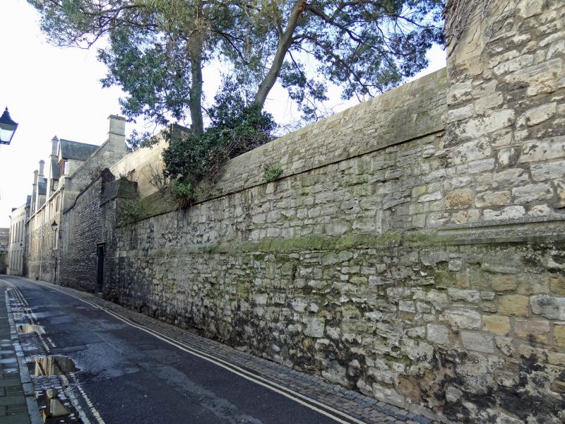
CITY WALL
1.
1485
Between St Aldate's
Street and Littlegate
Street
Wall, in Brewer Street,
being South Wall of
Pembroke College
SP 5105 NW 12/584 12.1.54.
I
2.
The wall under the chapel was rebuilt in 1728, and there has been other
repair.
Listing NGR: SP5131405948
External links are from the relevant listing authority and, where applicable, Wikidata. Wikidata IDs may be related buildings as well as this specific building. If you want to add or update a link, you will need to do so by editing the Wikidata entry.


Other nearby listed buildings
