Latitude: 51.7561 / 51°45'21"N
Longitude: -1.259 / 1°15'32"W
OS Eastings: 451243
OS Northings: 206636
OS Grid: SP512066
Mapcode National: GBR 8YY.SMT
Mapcode Global: VHCXV.4483
Plus Code: 9C3WQP4R+CC
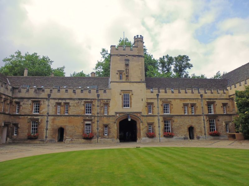
Entry Name: St Johns College, West Range
Listing Date: 12 January 1954
Grade: I
Source: Historic England
Source ID: 1046647
English Heritage Legacy ID: 245125
ID on this website: 101046647
Location: Oxford, Oxfordshire, OX1
County: Oxfordshire
District: Oxford
Electoral Ward/Division: Carfax
Parish: Non Civil Parish
Built-Up Area: Oxford
Traditional County: Oxfordshire
Lieutenancy Area (Ceremonial County): Oxfordshire
Church of England Parish: Oxford St Mary Magdalen
Church of England Diocese: Oxford
Tagged with: University building
ST JOHN'S COLLEGE 1. 1485 Front Quadrangle West Range SP 5106 NW 5/525D 12.1.54. I 2. Built circa 1480-90; contains gatehouse in centre which has been restored. Attics added 1572-3. Dormers and battlements were added in 1615 to West front, since refaced. The low wall in front of College built in 1579.
Listing NGR: SP5123906631
External links are from the relevant listing authority and, where applicable, Wikidata. Wikidata IDs may be related buildings as well as this specific building. If you want to add or update a link, you will need to do so by editing the Wikidata entry.


Other nearby listed buildings