Latitude: 52.4263 / 52°25'34"N
Longitude: -2.4269 / 2°25'36"W
OS Eastings: 371067
OS Northings: 281007
OS Grid: SO710810
Mapcode National: GBR BY.NC80
Mapcode Global: VH842.W8CV
Plus Code: 9C4VCHGF+G6
Entry Name: Churchyard Cross
Listing Date: 9 March 1970
Grade: II
Source: Historic England
Source ID: 1053831
English Heritage Legacy ID: 254737
ID on this website: 101053831
Location: St John the Baptist's Church, Shropshire, DY12
County: Shropshire
Civil Parish: Kinlet
Traditional County: Shropshire
Lieutenancy Area (Ceremonial County): Shropshire
Church of England Parish: Kinlet
Church of England Diocese: Hereford
Tagged with: Churchyard cross
1.
1954 KINLET KINLET
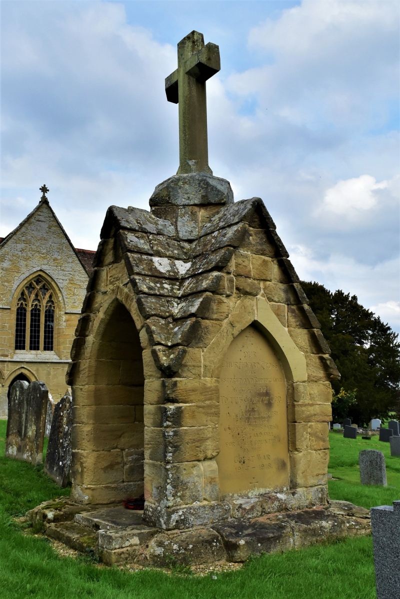
Churchyard Cross
SO 78 SW 32/12 9.3.70.
II
2.
Medieval but difficult to date. Only the unusually large base remains.
It is a stone structure with four gabled kneeling recesses and is
square on plan.
Listing NGR: SO7106781007
External links are from the relevant listing authority and, where applicable, Wikidata. Wikidata IDs may be related buildings as well as this specific building. If you want to add or update a link, you will need to do so by editing the Wikidata entry.


Other nearby listed buildings