Approximate Location Map
Large Map »
Latitude: 52.5109 / 52°30'39"N
Longitude: -2.4098 / 2°24'35"W
OS Eastings: 372283
OS Northings: 290410
OS Grid: SO722904
Mapcode National: GBR BZ.GX0S
Mapcode Global: VH915.55W0
Plus Code: 9C4VGH6R+83
Entry Name: Smithy Cottage
Listing Date: 1 February 1974
Grade: II
Source: Historic England
Source ID: 1053861
English Heritage Legacy ID: 254703
ID on this website: 101053861
Location: Eardington, Shropshire, WV16
County: Shropshire
Civil Parish: Eardington
Built-Up Area: Eardington
Traditional County: Shropshire
Lieutenancy Area (Ceremonial County): Shropshire
Church of England Parish: Oldbury
Church of England Diocese: Hereford
Tagged with: Cottage
1.
1954 EARDINGTON EARDINGTON
No 29 (Smithy
Cottage)
SO 79 SW 22/3
II
2.
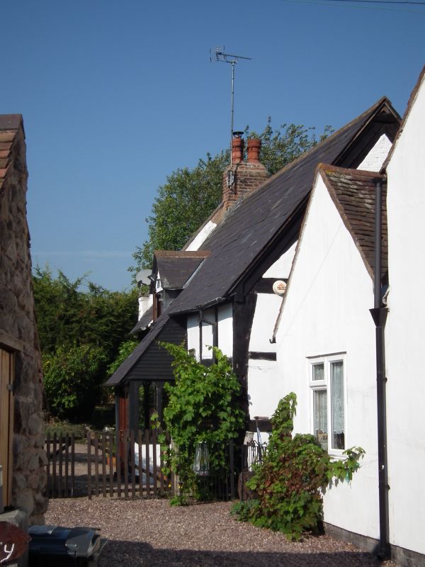
Probably late C16. Timber framed and painted brick; 1 storey and attic;
2 casement windows; 1 gabled dormer; coped end gable on left wlth brick
stack; modern glazed porch.
Listing NGR: SO7228390410
External links are from the relevant listing authority and, where applicable, Wikidata. Wikidata IDs may be related buildings as well as this specific building. If you want to add or update a link, you will need to do so by editing the Wikidata entry.


Other nearby listed buildings
