Latitude: 52.6815 / 52°40'53"N
Longitude: -2.8232 / 2°49'23"W
OS Eastings: 344443
OS Northings: 309631
OS Grid: SJ444096
Mapcode National: GBR BF.43MF
Mapcode Global: WH8BS.LVTN
Plus Code: 9C4VM5JG+JP
Entry Name: The White House
Listing Date: 10 March 1986
Grade: II
Source: Historic England
Source ID: 1055683
English Heritage Legacy ID: 259429
ID on this website: 101055683
Location: Hanwood, Shropshire, SY5
County: Shropshire
Civil Parish: Great Hanwood
Built-Up Area: Hanwood
Traditional County: Shropshire
Lieutenancy Area (Ceremonial County): Shropshire
Church of England Parish: Great Hanwood
Church of England Diocese: Hereford
Tagged with: House
SJ 40 NW GREAT HANWOOD C.P. A488 (south side)
4/127 The White House -
GV II
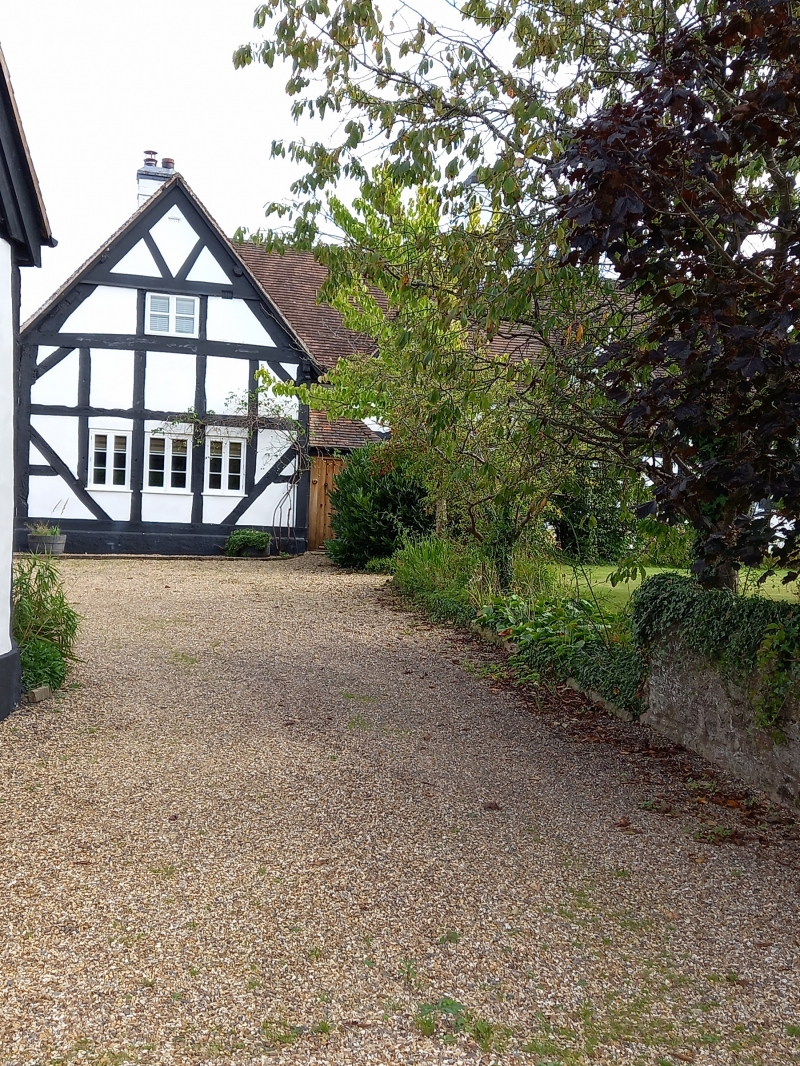
Farmhouse, now guest house. Probably early C17 with later additions and alterations. Timber framed (much renewed and part painted in imitation) with plastered and painted brick infill, machine tile roof. Hall of 3 1/2 framed bays with roughly central stack and 2-bay cross-wing projecting to left. One storey and attic; framing: 3 rectangular panels from cill to wall-plate, long and short straight tension braces to cross-wing; irregular fenestration, 2 gabled full dormers to hall range with 3-light late C19 casements below to left and centre and blocked openings between; cross-wing has one C19 casement to first floor with one casement and 2 fixed-light windows to ground floor; entrance through C20 door in wooden porch in angle between hall and cross-wing; prominent rendered ridge stack to right and small ridge stack to cross-wing. Mid-C19 red brick former stables attached to right-hand end are painted black and white in imitation of timber frame.
Listing NGR: SJ4444309631
External links are from the relevant listing authority and, where applicable, Wikidata. Wikidata IDs may be related buildings as well as this specific building. If you want to add or update a link, you will need to do so by editing the Wikidata entry.


Other nearby listed buildings