Latitude: 52.7068 / 52°42'24"N
Longitude: -2.7574 / 2°45'26"W
OS Eastings: 348924
OS Northings: 312398
OS Grid: SJ489123
Mapcode National: GBR BJ.2FV3
Mapcode Global: WH8BT.M756
Plus Code: 9C4VP64V+P3
Entry Name: 11, St John's Hill
Listing Date: 30 May 1969
Grade: II
Source: Historic England
Source ID: 1059011
English Heritage Legacy ID: 458030
ID on this website: 101059011
Location: Shrewsbury, Shropshire, SY1
County: Shropshire
Civil Parish: Shrewsbury
Built-Up Area: Shrewsbury
Traditional County: Shropshire
Lieutenancy Area (Ceremonial County): Shropshire
Church of England Parish: Shrewsbury St Chad
Church of England Diocese: Lichfield
Tagged with: Building
SHREWSBURY
SJ4812SE ST JOHN'S HILL 653-1/14/550 (South East side) 30/05/69 No.11
GV II
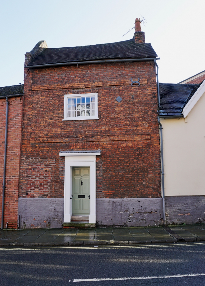
House. c1720. Brick with plain tiled roof. 2-storeyed, 3-window range with central entrance. Doorway in architrave with panelled rebates which is a later addition - the original relieving arch is visible beneath. Horizontal sliding sash windows. String courses at each floor. Stack partially corbelled out on right-hand gable.
Listing NGR: SJ4891812395
External links are from the relevant listing authority and, where applicable, Wikidata. Wikidata IDs may be related buildings as well as this specific building. If you want to add or update a link, you will need to do so by editing the Wikidata entry.


Other nearby listed buildings