Latitude: 51.5697 / 51°34'10"N
Longitude: -1.2032 / 1°12'11"W
OS Eastings: 455323
OS Northings: 185947
OS Grid: SU553859
Mapcode National: GBR 91B.GMH
Mapcode Global: VHCYN.3T91
Plus Code: 9C3WHQ9W+VP
Entry Name: Copsestile Farmhouse
Listing Date: 9 April 1952
Last Amended: 13 January 1986
Grade: II*
Source: Historic England
Source ID: 1059312
English Heritage Legacy ID: 247922
ID on this website: 101059312
Location: Aston Tirrold, South Oxfordshire, OX11
County: Oxfordshire
District: South Oxfordshire
Civil Parish: Aston Tirrold
Built-Up Area: Aston Tirrold
Traditional County: Berkshire
Lieutenancy Area (Ceremonial County): Oxfordshire
Church of England Parish: Aston Tirrold
Church of England Diocese: Oxford
Tagged with: Farmhouse
ASTON TIRROLD SPRING LANE (East side) SU5585 Copsestile Farmhouse 9/38 (Formerly listed as Copsestile 09/04/52 Farmhouse and outbuildings) GV II*
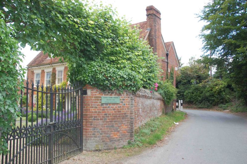
Farmhouse. Probably late C17, with C19 alterations. Red brick; old plain-tile roof; brick end stacks. 2 storeys and attic; 7-window range to rear. Central half-glazed door with flat hood on deeply carved wood brackets. 12-pane sashes to ground floor. Shaped brick band between ground and first floor. 7 bordered sashes to first floor with rendered flat heads with keystones. Angled brick quoins to left and right. Dentil cornice to eaves. 3 gabled dormers with 2-light leaded wood casements. Interior: stone flags to hall floor. Probably late C17 staircase of straight flight with winder with turned balustrade. Late C17 fielded panelling to dining room to ground floor left rear. Many doors have original "H" and "HL" hinges.
Listing NGR: SU5532385947
External links are from the relevant listing authority and, where applicable, Wikidata. Wikidata IDs may be related buildings as well as this specific building. If you want to add or update a link, you will need to do so by editing the Wikidata entry.


Other nearby listed buildings