Approximate Location Map
Large Map »
Latitude: 51.6851 / 51°41'6"N
Longitude: -0.9501 / 0°57'0"W
OS Eastings: 472675
OS Northings: 199003
OS Grid: SU726990
Mapcode National: GBR C2Z.6M8
Mapcode Global: VHDVN.HX12
Plus Code: 9C3XM2PX+2W
Entry Name: Church of St Peter and St Paul, Chest Tomb to John Bennett Approximately 12 Metres South of Tower
Listing Date: 5 August 1987
Grade: II
Source: Historic England
Source ID: 1059711
English Heritage Legacy ID: 249037
ID on this website: 101059711
Location: St Peter and St Paul's Church, Aston Rowant, South Oxfordshire, OX49
County: Oxfordshire
District: South Oxfordshire
Civil Parish: Aston Rowant
Built-Up Area: Aston Rowant
Traditional County: Oxfordshire
Lieutenancy Area (Ceremonial County): Oxfordshire
Church of England Parish: Chinnor, Sydenham, Aston and Crowell
Church of England Diocese: Oxford
Tagged with: Chest tomb
ASTON ROWANT CHURCH LANE
SU7299 (East side)
18/23 Church of St. Peter and St.
Paul, chest tomb to John
Bennett approx. 12m. S of
tower
GV II
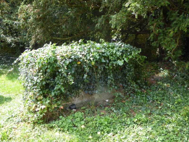
Chest tomb. Dated 1741 to inscription to end. Stone. Rectangular. Moulded base;
3 fielded panels to each side, single fielded panel to each end. Shaped moulding
to edge of flat top.
Listing NGR: SU7267599003
External links are from the relevant listing authority and, where applicable, Wikidata. Wikidata IDs may be related buildings as well as this specific building. If you want to add or update a link, you will need to do so by editing the Wikidata entry.


Other nearby listed buildings
