Latitude: 51.0159 / 51°0'57"N
Longitude: -3.1009 / 3°6'3"W
OS Eastings: 322868
OS Northings: 124635
OS Grid: ST228246
Mapcode National: GBR M1.J874
Mapcode Global: FRA 46DF.FRF
Plus Code: 9C3R2V8X+9J
Entry Name: Wall Along South Side of Vicarage Garden
Listing Date: 4 July 1975
Grade: II
Source: Historic England
Source ID: 1060081
English Heritage Legacy ID: 269662
ID on this website: 101060081
Location: North Town, Somerset, TA1
County: Somerset
District: Somerset West and Taunton
Electoral Ward/Division: Taunton Manor and Wilton
Parish: Taunton
Built-Up Area: Taunton
Traditional County: Somerset
Lieutenancy Area (Ceremonial County): Somerset
Tagged with: Wall
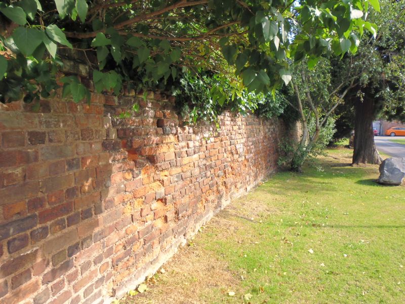
1. CHURCH SQUARE 5365 (North Side) Wall along south side of Vicarage garden ST 2224 NE 9/14C II GV 2. Attached to the Cottage at the Vicarage is a brick and rubble wall running west along the north side of the churchyard. Probably C19. At east end is a wooden door with gothic panelling. At the west end where the wall adjoins Whirligig Lane is an entrance to the vicarage garden. 4-centred arch with dripmould flanked by pilaster buttresses. Gablet above with diamond panel and carved heraldic device. Wooden door. The wall originally continued to the north in Whirligig Lane, but has been completely rebuilt and is not listed there.
All the listed buildings in Church Square together with the Church of St Mary Magdalene and the listed buildings in Hammet Street form an extremely important group.
Listing NGR: ST2286724634
External links are from the relevant listing authority and, where applicable, Wikidata. Wikidata IDs may be related buildings as well as this specific building. If you want to add or update a link, you will need to do so by editing the Wikidata entry.


Other nearby listed buildings