Approximate Location Map
Large Map »
Latitude: 51.332 / 51°19'55"N
Longitude: 0.7333 / 0°43'59"E
OS Eastings: 590506
OS Northings: 162757
OS Grid: TQ905627
Mapcode National: GBR RTD.D6T
Mapcode Global: VHKJL.NSH8
Plus Code: 9F328PJM+Q8
Entry Name: 62, Bell Road
Listing Date: 13 December 1974
Grade: II
Source: Historic England
Source ID: 1061080
English Heritage Legacy ID: 175714
ID on this website: 101061080
Location: Sittingbourne, Swale, Kent, ME10
County: Kent
District: Swale
Electoral Ward/Division: Woodstock
Parish: Non Civil Parish
Built-Up Area: Sittingbourne
Traditional County: Kent
Lieutenancy Area (Ceremonial County): Kent
Tagged with: Building
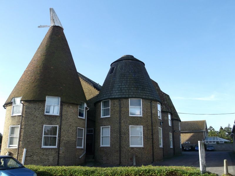
1.
5282 BELL ROAD
(West Side)
SITTINGBOURNE
No 62
TQ 96 SW 9/116
II
2.
A mid Cl9 industrial building with cast. 2 storeys yellow brick with 11 red brick
pilasters running the full height of the front elevation. Slate roof with 2 gables
having curved bargeboards, 9 window spaces but mainly loading doors not windows.
On the extreme right is a yellow brick conical oast with tiled roof.
Listing NGR: TQ9050662757
External links are from the relevant listing authority and, where applicable, Wikidata. Wikidata IDs may be related buildings as well as this specific building. If you want to add or update a link, you will need to do so by editing the Wikidata entry.


Other nearby listed buildings
