Latitude: 52.6522 / 52°39'7"N
Longitude: -0.4798 / 0°28'47"W
OS Eastings: 502936
OS Northings: 307134
OS Grid: TF029071
Mapcode National: GBR FVR.RJ2
Mapcode Global: WHGLX.LLRM
Plus Code: 9C4XMG2C+V3
Entry Name: 4, High Street
Listing Date: 26 April 1974
Grade: II
Source: Historic England
Source ID: 1062266
English Heritage Legacy ID: 193538
ID on this website: 101062266
Location: Stamford, South Kesteven, Lincolnshire, PE9
County: Lincolnshire
District: South Kesteven
Civil Parish: Stamford
Built-Up Area: Stamford
Traditional County: Lincolnshire
Lieutenancy Area (Ceremonial County): Lincolnshire
Church of England Parish: Stamford All Saints
Church of England Diocese: Lincoln
Tagged with: Building
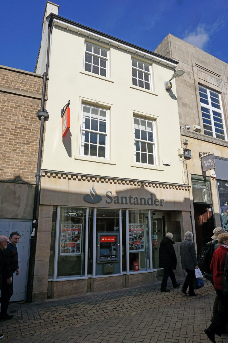
1.
1671 HIGH STREET
(North Side)
No 4
TF 0207 1/446
II GV
2.
Early C19. 3 storeys, cement rendered. Stone slate roof. 2 windows, double-hung
sashes with glazing bars. Redbuilding shop front, Listed as part of a vivid group
with Nos 6 to 12 (consec).
No 4 and nos 6 to 12 (consec) form a group.
Listing NGR: TF0293607134
External links are from the relevant listing authority and, where applicable, Wikidata. Wikidata IDs may be related buildings as well as this specific building. If you want to add or update a link, you will need to do so by editing the Wikidata entry.


Other nearby listed buildings