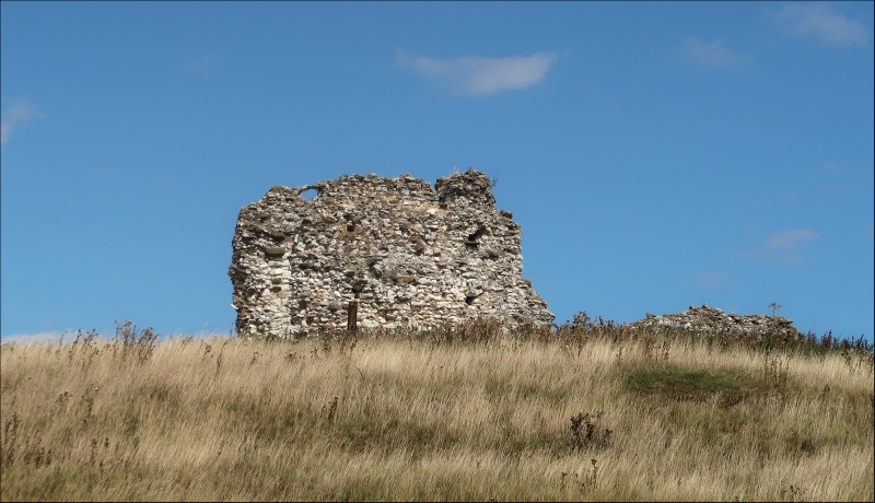
Latitude: 53.2601 / 53°15'36"N
Longitude: 0.082 / 0°4'55"E
OS Eastings: 538977
OS Northings: 375698
OS Grid: TF389756
Mapcode National: GBR YZ0R.K2
Mapcode Global: WHJLK.7BB2
Plus Code: 9F52736J+2R
Entry Name: Ruins of St Andrew's Church
Listing Date: 3 February 1967
Grade: II
Source: Historic England
Source ID: 1063635
English Heritage Legacy ID: 196076
ID on this website: 101063635
Location: Calceby, East Lindsey, Lincolnshire, LN13
County: Lincolnshire
District: East Lindsey
Civil Parish: South Thoresby
Traditional County: Lincolnshire
Lieutenancy Area (Ceremonial County): Lincolnshire
Church of England Parish: South Ormsby St Leonard
Church of England Diocese: Lincoln
Tagged with: Building
CALCEBY CALCEBY BECK ROAD TF 37 NE (west side) 1/10 Ruins of St. Andrew's Church 3.2.67 II
Former parish church, now ruined. Cll. Coursed chalk rubble with greenstone dressings and facing to chancel. Tower and nave walls survive in part up to about 20'O" and contain some herringbone masonry. Round headed tower arch with greenstone imposts, one chamfered and one simply hollow moulded.
Listing NGR: TF3897775698
External links are from the relevant listing authority and, where applicable, Wikidata. Wikidata IDs may be related buildings as well as this specific building. If you want to add or update a link, you will need to do so by editing the Wikidata entry.


Other nearby listed buildings