Latitude: 51.2661 / 51°15'57"N
Longitude: 1.1913 / 1°11'28"E
OS Eastings: 622724
OS Northings: 156721
OS Grid: TR227567
Mapcode National: GBR VZR.G0Y
Mapcode Global: VHLGP.LFMR
Plus Code: 9F33758R+CG
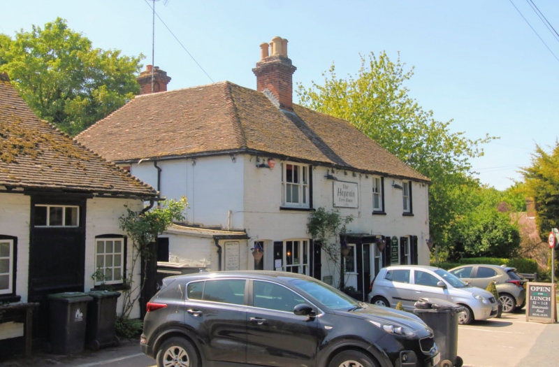
Entry Name: The Haywain Public House
Listing Date: 1 February 1977
Grade: II
Source: Historic England
Source ID: 1067720
English Heritage Legacy ID: 171222
Also known as: Haywain
The Haywain, Canterbury
ID on this website: 101067720
Location: Bramling, Canterbury, Kent, CT3
County: Kent
District: Canterbury
Civil Parish: Ickham and Well
Traditional County: Kent
Lieutenancy Area (Ceremonial County): Kent
Tagged with: Pub
1. 5273 ICKHAM AND WELL BRAMLING
The Hay-wain Public House TR 25 NW 10/439 1.2.77
II
2. Early to mid-Cl9. Two storeys colourwashed. Hipped tiled roof. Three sashes with vertical glazing bars only intact, the easternmost tri-partite. Small central porch.
Listing NGR: TR2272456721
External links are from the relevant listing authority and, where applicable, Wikidata. Wikidata IDs may be related buildings as well as this specific building. If you want to add or update a link, you will need to do so by editing the Wikidata entry.


Other nearby listed buildings