Latitude: 51.1468 / 51°8'48"N
Longitude: 1.2703 / 1°16'12"E
OS Eastings: 628825
OS Northings: 143698
OS Grid: TR288436
Mapcode National: GBR W1D.3YT
Mapcode Global: VHLH9.YFXQ
Plus Code: 9F3347WC+P4
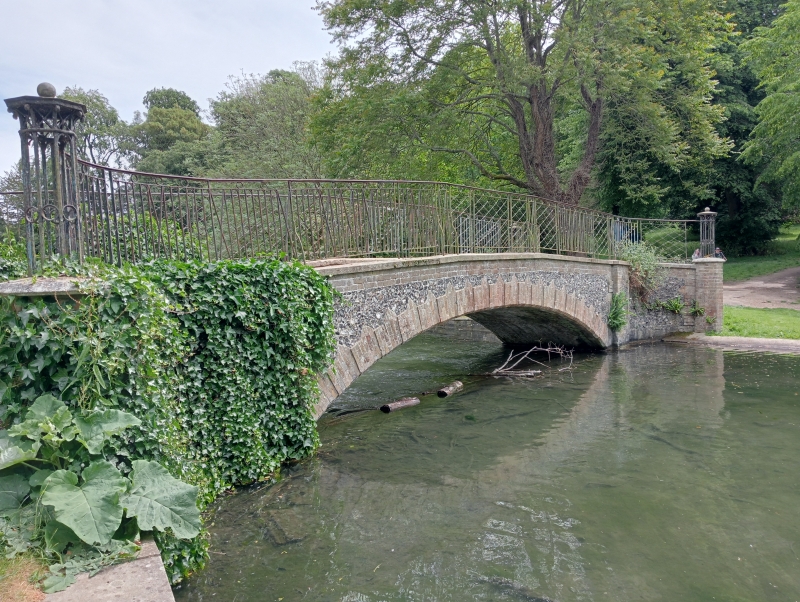
Entry Name: Bridge in the Grounds of Kearsney Abbey
Listing Date: 17 December 1973
Last Amended: 17 March 1974
Grade: II
Source: Historic England
Source ID: 1069502
English Heritage Legacy ID: 177777
ID on this website: 101069502
Location: Kearsney Park, Kearsney, Dover, Kent, CT17
County: Kent
District: Dover
Civil Parish: River
Built-Up Area: Dover
Traditional County: Kent
Lieutenancy Area (Ceremonial County): Kent
Tagged with: Bridge
KEARNSEY ABBEY GROUNDS 1. 1050 Bridge in the grounds Bridge in the grounds of Kearnsey Abbey TR 2843 6/65
II
2. An early C19 ornamental bridge over the lake. Rusticated brown brick arch flanked by pilasters with parapet above, the portion between the arch and the parapet faced with flints. Above the parapet are ornamental wrought iron railings.
Listing NGR: TR2882543698
External links are from the relevant listing authority and, where applicable, Wikidata. Wikidata IDs may be related buildings as well as this specific building. If you want to add or update a link, you will need to do so by editing the Wikidata entry.


Other nearby listed buildings