Latitude: 51.149 / 51°8'56"N
Longitude: 0.9041 / 0°54'14"E
OS Eastings: 603209
OS Northings: 142874
OS Grid: TR032428
Mapcode National: GBR SY2.TN0
Mapcode Global: VHKKN.MCBZ
Plus Code: 9F324WX3+JJ
Entry Name: 93-97, Kennington Road
Listing Date: 4 June 1976
Grade: II
Source: Historic England
Source ID: 1071020
English Heritage Legacy ID: 180068
ID on this website: 101071020
Location: Willesborough Lees, Ashford, Kent, TN24
County: Kent
District: Ashford
Electoral Ward/Division: North Willesborough
Parish: Non Civil Parish
Built-Up Area: Ashford (Ashford)
Traditional County: Kent
Lieutenancy Area (Ceremonial County): Kent
Tagged with: Building
1. 5344 WILLESBOROUGH ROAD Nos 93 to 97 (odd) TR 04 SW 3/278
II GV
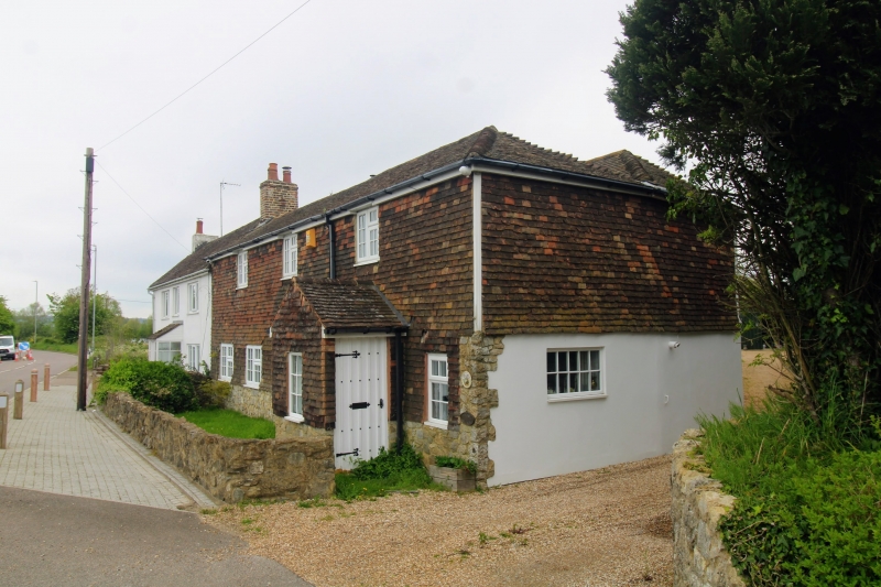
2. No 93 is a C17 building of 2 parallel ranges. 2 storeys painted brick. Tiled roof. 3 modern casements. Stringcourse. Modern porch. Nos 95 and 97 are early C19. 2 parallel ranges. Could be an earlier house refronted. 2 storeys tile hung. Slate roof. 3 casements. Simple doorcases with wooden weatherhoods and brackets.
Nos 93 to 97 (odd) form a group.
Listing NGR: TR0320942874
External links are from the relevant listing authority and, where applicable, Wikidata. Wikidata IDs may be related buildings as well as this specific building. If you want to add or update a link, you will need to do so by editing the Wikidata entry.


Other nearby listed buildings