Latitude: 53.9572 / 53°57'25"N
Longitude: -2.2589 / 2°15'31"W
OS Eastings: 383110
OS Northings: 451261
OS Grid: SD831512
Mapcode National: GBR DQNP.R6
Mapcode Global: WHB74.8SLR
Plus Code: 9C5VXP4R+VF
Entry Name: Paythorne Bridge
Listing Date: 16 November 1954
Grade: II
Source: Historic England
Source ID: 1072082
English Heritage Legacy ID: 183430
ID on this website: 101072082
Location: Paythorne, Ribble Valley, Lancashire, BB7
County: Lancashire
District: Ribble Valley
Civil Parish: Paythorne
Traditional County: Yorkshire
Lieutenancy Area (Ceremonial County): Lancashire
Church of England Parish: Gisburn St Mary the Virgin
Church of England Diocese: Blackburn
SD 85 SW PAYTHORNE
SD 830 512
1/98 Paythorne Bridge
16-11-1954 - II
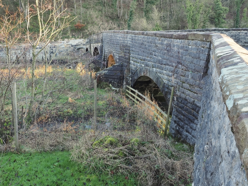
Bridge over the River Ribble, probably C17th,widened on north side and parapets renewed probably mid C19th. Sandstone ashlar. Has 2 segmental arches, and 2 triangular cutwaters on each side. Solid parapets have central and end piers, string, and weathered coping. The arches on the southern side have ribbed soffits. The north-west (Paythorne) approach to the bridge has abutments mainly of rock-faced limestone with 2 arches for floodwaters. Part of this bridge is in Newsholme C.P. (q.v.).
Listing NGR: SD8310751259


Other nearby listed buildings