Latitude: 52.8059 / 52°48'21"N
Longitude: -1.1076 / 1°6'27"W
OS Eastings: 460256
OS Northings: 323527
OS Grid: SK602235
Mapcode National: GBR 9LW.2SK
Mapcode Global: WHDHK.YQRR
Plus Code: 9C4WRV4R+9X
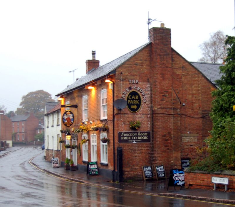
Entry Name: The 3 Crowns Public House
Listing Date: 15 March 1984
Grade: II
Source: Historic England
Source ID: 1074537
English Heritage Legacy ID: 189357
ID on this website: 101074537
Location: Wymeswold, Charnwood, Leicestershire, LE12
County: Leicestershire
District: Charnwood
Civil Parish: Wymeswold
Built-Up Area: Wymeswold
Traditional County: Leicestershire
Lieutenancy Area (Ceremonial County): Leicestershire
Church of England Parish: Wymeswold St Mary
Church of England Diocese: Leicester
Tagged with: Pub
SK 6023 - 6123 WYMESWOLD FAR STREET North side 2/99 The 3 Crowns Public House
II
House, c1830; on earlier core. Brick with slate roof and overhanging eaves. Gable end stacks. 2 storeys. 3 unit plan with doorway in original moulded case. All windows have cambered heads, upper ones are 16-light sashes, ground floor renewed. Section of rubble plinth to left of facade and evidence for heightening of original building in gable end wall.
Listing NGR: SK6025623527
External links are from the relevant listing authority and, where applicable, Wikidata. Wikidata IDs may be related buildings as well as this specific building. If you want to add or update a link, you will need to do so by editing the Wikidata entry.


Other nearby listed buildings