Latitude: 52.7464 / 52°44'47"N
Longitude: -0.969 / 0°58'8"W
OS Eastings: 469694
OS Northings: 317031
OS Grid: SK696170
Mapcode National: GBR BNZ.V41
Mapcode Global: WHFK5.27VC
Plus Code: 9C4XP2WJ+HC
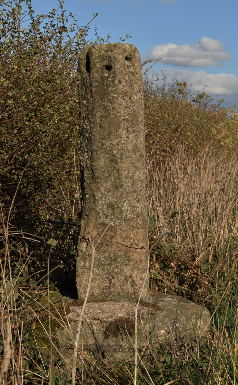
Entry Name: Stump Cross
Listing Date: 1 January 1968
Grade: II
Source: Historic England
Source ID: 1075135
English Heritage Legacy ID: 189931
ID on this website: 101075135
Location: Frisby on the Wreake, Melton, Leicestershire, LE14
County: Leicestershire
District: Melton
Civil Parish: Frisby on the Wreake
Built-Up Area: Frisby on the Wreake
Traditional County: Leicestershire
Lieutenancy Area (Ceremonial County): Leicestershire
Church of England Parish: Upper Wreake Parish
Church of England Diocese: Leicester
SK 61 NE FRISBY AND KIRBY LEICESTER ROAD
(north side)
3/58 Stump Cross
1.1.68 II
Wayside cross. C14. Limestone. Broached square base. Broached, tapered square shaft approx. 1 M high, with a hole in each side at the top. Also a Scheduled Ancient Monument, County No.54.
Listing NGR: SK6969417031


Other nearby listed buildings