Latitude: 53.5052 / 53°30'18"N
Longitude: -2.9975 / 2°59'51"W
OS Eastings: 333936
OS Northings: 401408
OS Grid: SD339014
Mapcode National: GBR 7WHX.V6
Mapcode Global: WH86T.X5S5
Plus Code: 9C5VG242+3X
Entry Name: Broom's Cross Approximately 67 Metres from Junction with Back Lane
Listing Date: 17 January 1986
Grade: II
Source: Historic England
Source ID: 1075815
English Heritage Legacy ID: 216541
ID on this website: 101075815
Location: Thornton, Sefton, Merseyside, L29
County: Sefton
Civil Parish: Thornton
Built-Up Area: Crosby
Traditional County: Lancashire
Lieutenancy Area (Ceremonial County): Merseyside
Church of England Parish: Sefton St Helen
Church of England Diocese: Liverpool
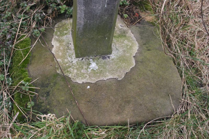
THORNTON HOLGATES LANE SD 30 SW (south-west side) 6/144 Broom's Cross approx. 67 m. from junction with Back Lane II Cross. Base c.1300 (according to plaque), cross erected in 1977 to commemorate Queen's Silver Jubilee. Square stone base with incised cross in right-hand corner. Granite cross with chamfered members and central quatrefoil with IHS monogram. Rear of cross, to lane, has commemorative plaque.
Listing NGR: SD3393601408


Other nearby listed buildings