Latitude: 52.5832 / 52°34'59"N
Longitude: -1.9836 / 1°59'0"W
OS Eastings: 401207
OS Northings: 298382
OS Grid: SP012983
Mapcode National: GBR 2D2.XV
Mapcode Global: WHBG1.HBNG
Plus Code: 9C4WH2M8+7H
Entry Name: Retaining Wall and Steps Surrounding War Memorial
Listing Date: 31 July 1986
Grade: II
Source: Historic England
Source ID: 1076386
English Heritage Legacy ID: 219046
ID on this website: 101076386
Location: Walsall, West Midlands, WS1
County: Walsall
Electoral Ward/Division: St Matthew's
Parish: Non Civil Parish
Built-Up Area: Walsall
Traditional County: Staffordshire
Lieutenancy Area (Ceremonial County): West Midlands
Church of England Parish: Walsall St Matthew
Church of England Diocese: Lichfield
Tagged with: Retaining wall
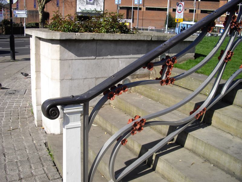
WALSALL MB BRADFORD PLACE SP 0198 SW 15/11 Retaining wall and steps surrounding War Memorial GV II Retaining wall. c1922. Limestone ashlar. Circular on plan, with coping, and with three flights of stone steps leading to raised lawn around War Memorial (qv). Included for group value.
Listing NGR: SP0120798382
External links are from the relevant listing authority and, where applicable, Wikidata. Wikidata IDs may be related buildings as well as this specific building. If you want to add or update a link, you will need to do so by editing the Wikidata entry.


Other nearby listed buildings