Latitude: 52.4997 / 52°29'59"N
Longitude: -2.0096 / 2°0'34"W
OS Eastings: 399443
OS Northings: 289091
OS Grid: SO994890
Mapcode National: GBR 571.3S
Mapcode Global: VH9YV.3FYK
Plus Code: 9C4VFXXR+V5
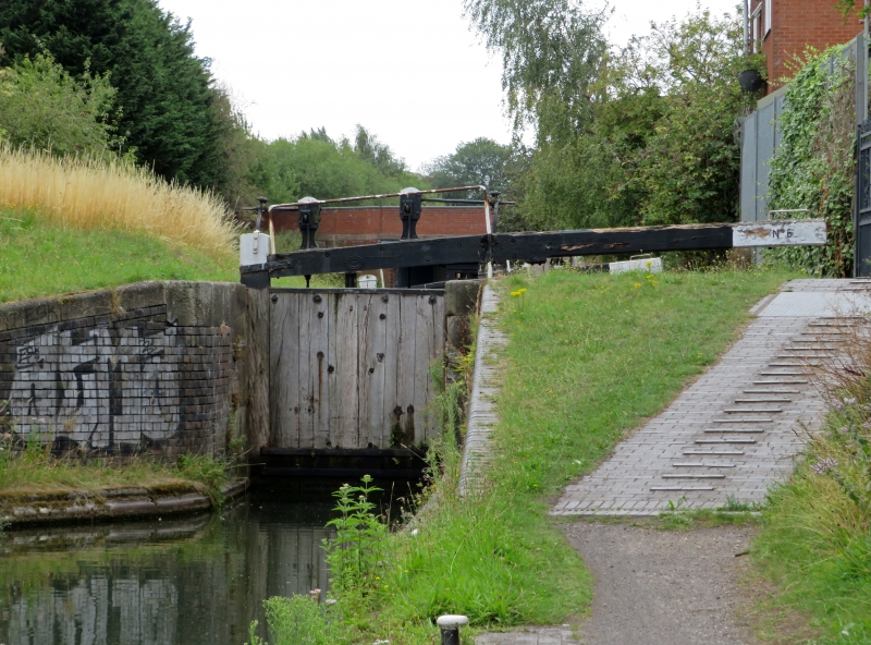
Entry Name: Bottom Lock, Oldbury Locks (Approximately 60 Metres North of Tat Bank Road) Birmingham Canal Titford Branch, Oldbury
Listing Date: 29 September 1987
Grade: II
Source: Historic England
Source ID: 1077157
English Heritage Legacy ID: 219229
ID on this website: 101077157
Location: Tat Bank, Sandwell, West Midlands, B69
County: Sandwell
Electoral Ward/Division: St Pauls
Parish: Non Civil Parish
Built-Up Area: Oldbury (Sandwell)
Traditional County: Worcestershire
Lieutenancy Area (Ceremonial County): West Midlands
Church of England Parish: Oldbury
Church of England Diocese: Birmingham
SANDWELL MB BIRMINGHAM CANAL SO 9989 SW Titford Branch, Oldbury 17/25 Bottom Lock, Oldbury Locks (approx 60m north of Tat Bank Road)
GV II
Bottom lock of flight of six on Titford Branch. Opened 1838. Brick chamber with sandstone kerbs partly replaced by concrete. Single gates. Cast iron sluice gear at upstream end.
Listing NGR: SO9944389091
External links are from the relevant listing authority and, where applicable, Wikidata. Wikidata IDs may be related buildings as well as this specific building. If you want to add or update a link, you will need to do so by editing the Wikidata entry.


Other nearby listed buildings