Approximate Location Map
Large Map »
Latitude: 52.7016 / 52°42'5"N
Longitude: 0.6449 / 0°38'41"E
OS Eastings: 578809
OS Northings: 314824
OS Grid: TF788148
Mapcode National: GBR Q79.MVJ
Mapcode Global: WHKQN.WC98
Plus Code: 9F42PJ2V+JX
Entry Name: St Thomas a Becket's Chapel
Listing Date: 19 October 1951
Grade: II
Source: Historic England
Source ID: 1077663
English Heritage Legacy ID: 221923
ID on this website: 101077663
Location: West Acre, King's Lynn and West Norfolk, Norfolk, PE32
County: Norfolk
District: King's Lynn and West Norfolk
Civil Parish: West Acre
Traditional County: Norfolk
Lieutenancy Area (Ceremonial County): Norfolk
Church of England Parish: West Acre All Saints
Church of England Diocese: Norwich
Tagged with: Chapel
WEST ACRE
TF 71 SE
7/55 St Thomas a Becket's
19.10.51 Chapel
- II
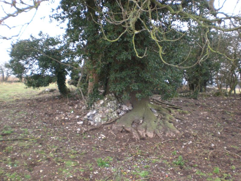
Site of Chapel of St Thomas a Becket. Medieval. Flint rubble footings only
of rectangular chapel.
Listing NGR: TF7880914824
External links are from the relevant listing authority and, where applicable, Wikidata. Wikidata IDs may be related buildings as well as this specific building. If you want to add or update a link, you will need to do so by editing the Wikidata entry.


Other nearby listed buildings
