Latitude: 51.7709 / 51°46'15"N
Longitude: -0.4778 / 0°28'39"W
OS Eastings: 505131
OS Northings: 209124
OS Grid: TL051091
Mapcode National: GBR G6F.S24
Mapcode Global: VHFRZ.NRS8
Plus Code: 9C3XQGCC+9V
Entry Name: 138, Piccott's End
Listing Date: 20 May 1954
Last Amended: 17 February 1977
Grade: II
Source: Historic England
Source ID: 1078040
English Heritage Legacy ID: 355630
ID on this website: 101078040
Location: Piccotts End, Dacorum, Hertfordshire, HP1
County: Hertfordshire
District: Dacorum
Town: Dacorum
Electoral Ward/Division: Grovehill
Parish: Non Civil Parish
Traditional County: Hertfordshire
Lieutenancy Area (Ceremonial County): Hertfordshire
Church of England Parish: Hemel Hempstead
Church of England Diocese: St.Albans
Tagged with: Building
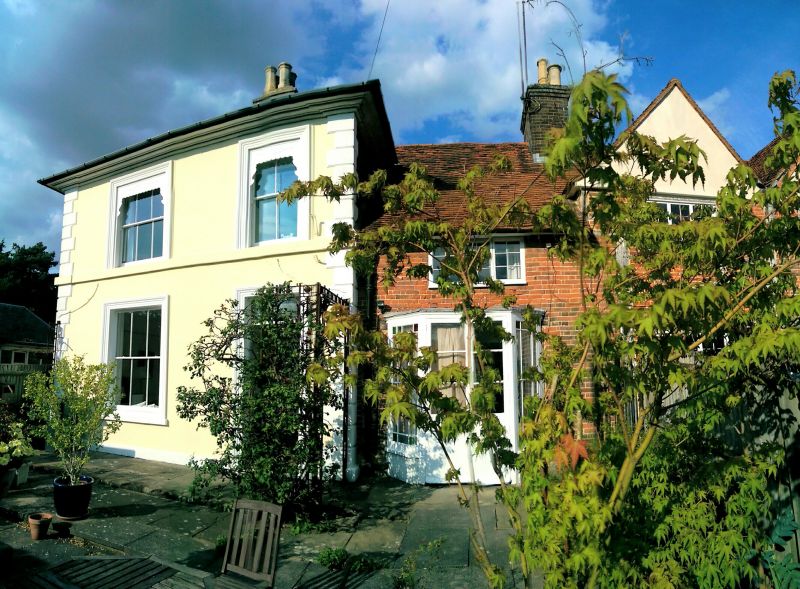
PICCOTT'S END 1. 5252 (East Side) No 138 (normerly listed as No 71 TL 0509 8/208 20.5.54.
II 2. Early C19 stucco front with ornamental ironwork verandah to ground floor. Hipped Welsh slated roof with cornice. 2 storeys, lst floor sill band. 2 sash windows in architrave surrounds.
Listing NGR: TL0513109124
External links are from the relevant listing authority and, where applicable, Wikidata. Wikidata IDs may be related buildings as well as this specific building. If you want to add or update a link, you will need to do so by editing the Wikidata entry.


Other nearby listed buildings