Approximate Location Map
Large Map »
Latitude: 51.4994 / 51°29'57"N
Longitude: -0.2551 / 0°15'18"W
OS Eastings: 521213
OS Northings: 179274
OS Grid: TQ212792
Mapcode National: GBR 9M.6C8
Mapcode Global: VHGQX.JKHX
Plus Code: 9C3XFPXV+QW
Entry Name: 11, Blenheim Road
Listing Date: 2 February 1970
Grade: II
Source: Historic England
Source ID: 1079443
English Heritage Legacy ID: 200896
ID on this website: 101079443
Location: Bedford Park, Ealing, London, W4
County: London
District: Ealing
Electoral Ward/Division: Southfield
Parish: Non Civil Parish
Built-Up Area: Ealing
Traditional County: Middlesex
Lieutenancy Area (Ceremonial County): Greater London
Church of England Parish: St Michael and All Angels Bedford Park
Church of England Diocese: London
Tagged with: Building
BLENHEIM ROAD
1.
5010
(north side)
TQ 2179 7/9 No 11
2.2.70
II
GV
2.
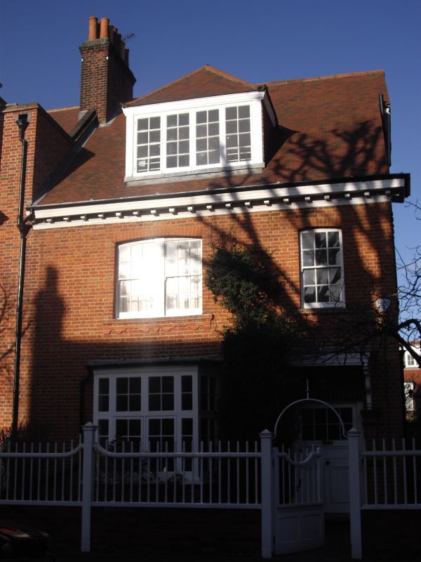
Circa 1878. By R N Shaw, after the third semi-detached design but now a detached
house. Red and yellow brick with coved eaves cornice and tiled roof. Two
storeys, 2 windows with a single storey bay. Door with hood.
Listing NGR: TQ2121379274
External links are from the relevant listing authority and, where applicable, Wikidata. Wikidata IDs may be related buildings as well as this specific building. If you want to add or update a link, you will need to do so by editing the Wikidata entry.


Other nearby listed buildings
