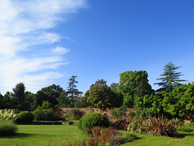
Latitude: 51.6125 / 51°36'45"N
Longitude: -0.2943 / 0°17'39"W
OS Eastings: 518200
OS Northings: 191788
OS Grid: TQ182917
Mapcode National: GBR 7Q.2GL
Mapcode Global: VHGQ9.VQ8Q
Plus Code: 9C3XJP74+27
Entry Name: Wall enclosing George V Memorial Garden in Canons Park
Listing Date: 25 May 1983
Grade: II
Source: Historic England
Source ID: 1079738
English Heritage Legacy ID: 201994
ID on this website: 101079738
Location: Canons Park, Harrow, London, HA8
County: London
District: Harrow
Electoral Ward/Division: Canons
Parish: Non Civil Parish
Built-Up Area: Harrow
Traditional County: Middlesex
Lieutenancy Area (Ceremonial County): Greater London
Church of England Parish: St Lawrence Whitchurch Lane
Church of England Diocese: London
Tagged with: Wall
This list entry was subject to a Minor Amendment on 14 May 2025 to reformat the text to current standards
TQ 1891
9/11B
Edgware
CANONS DRIVE
Wall enclosing George V Memorial Garden in Canons Park
GV
II
C18. Red brick in panels. About 11 ft high.
Listing NGR: TQ1820091788
External links are from the relevant listing authority and, where applicable, Wikidata. Wikidata IDs may be related buildings as well as this specific building. If you want to add or update a link, you will need to do so by editing the Wikidata entry.


Other nearby listed buildings