Latitude: 52.2057 / 52°12'20"N
Longitude: -2.1399 / 2°8'23"W
OS Eastings: 390536
OS Northings: 256400
OS Grid: SO905564
Mapcode National: GBR 1G1.RSP
Mapcode Global: VH92N.VTLG
Plus Code: 9C4V6V46+72
Entry Name: Garden Walls Immediately North-West of Ravenshill Farmhouse
Listing Date: 4 September 1986
Grade: II
Source: Historic England
Source ID: 1081189
English Heritage Legacy ID: 147892
ID on this website: 101081189
Location: Moor End, Wychavon, Worcestershire, WR9
County: Worcestershire
District: Wychavon
Civil Parish: Tibberton
Traditional County: Worcestershire
Lieutenancy Area (Ceremonial County): Worcestershire
Church of England Parish: Hadzor with Oddingley and Tibberton
Church of England Diocese: Worcester
Tagged with: Wall
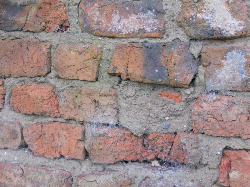
TIBBERTON CP PLOUGH ROAD SO 95 NW (east side) 6/216 Garden walls immediately north-west of Ravenshill Farmhouse GV II Garden walls. Early C18. Handmade brick with brick coping. Encloses space of about 800 square feet. Walls are 8 feet high but have been reduced to a height of about 4 feet to the south and west sides. There is a central entrance in the north side with a cambered head and C20 door. The north-west corner has been rebuilt in the late C20. A complete walled garden that formed part of the early layout at Ravenshill Farmhouse (qv).
Listing NGR: SO9053656400
External links are from the relevant listing authority and, where applicable, Wikidata. Wikidata IDs may be related buildings as well as this specific building. If you want to add or update a link, you will need to do so by editing the Wikidata entry.


Other nearby listed buildings