Latitude: 52.137 / 52°8'13"N
Longitude: -2.3934 / 2°23'36"W
OS Eastings: 373172
OS Northings: 248817
OS Grid: SO731488
Mapcode National: GBR 0F5.V16
Mapcode Global: VH92X.GKK4
Plus Code: 9C4V4JP4+QJ
Entry Name: Beanhouse Mill
Listing Date: 12 April 1973
Grade: II
Source: Historic England
Source ID: 1082273
English Heritage Legacy ID: 151125
ID on this website: 101082273
Location: Grittlesend, County of Herefordshire, WR13
County: County of Herefordshire
Civil Parish: Cradley
Traditional County: Herefordshire
Lieutenancy Area (Ceremonial County): Herefordshire
Church of England Parish: Cradley
Church of England Diocese: Hereford
Tagged with: Mill
1.
1962
SO 74 NW
19/340
CRADLEY
GRITTLESEND
Beanhouse Mill
II
2.
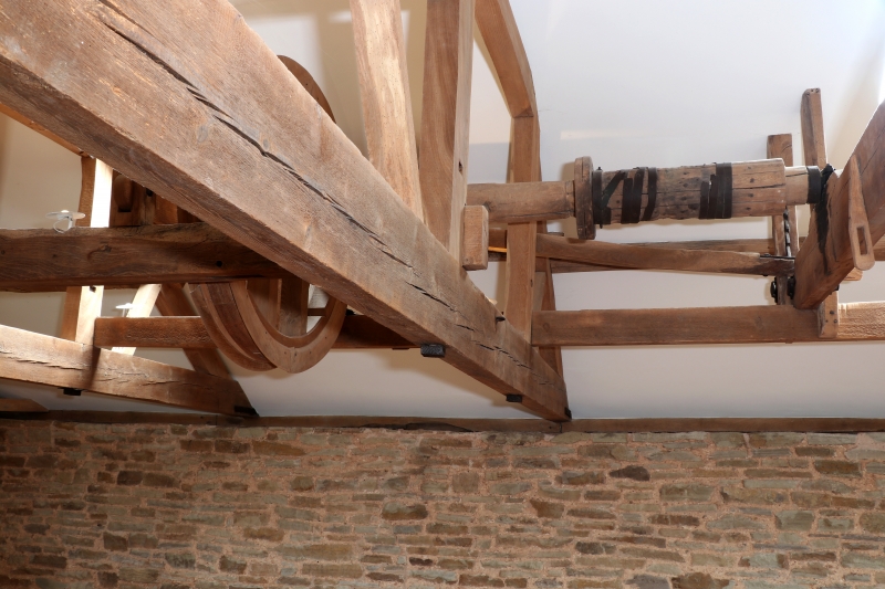
Late C18 water mill. Tall stone rubble building with brick window dressings.
Slate hipped roof. Weatherboardeded gantry. Metal frame windows. Machinery
still in use. Undershot wheel.
Listing NGR: SO7317248817
External links are from the relevant listing authority and, where applicable, Wikidata. Wikidata IDs may be related buildings as well as this specific building. If you want to add or update a link, you will need to do so by editing the Wikidata entry.


Other nearby listed buildings