Approximate Location Map
Large Map »
Latitude: 51.2805 / 51°16'49"N
Longitude: 1.0785 / 1°4'42"E
OS Eastings: 614792
OS Northings: 157990
OS Grid: TR147579
Mapcode National: GBR TY2.PGN
Mapcode Global: VHLGM.N20N
Plus Code: 9F3373JH+6C
Entry Name: 16 and 17, the Friars
Listing Date: 7 September 1973
Grade: II
Source: Historic England
Source ID: 1085016
English Heritage Legacy ID: 170619
ID on this website: 101085016
Location: Canterbury, Kent, CT1
County: Kent
District: Canterbury
Electoral Ward/Division: Westgate
Parish: Non Civil Parish
Built-Up Area: Canterbury
Traditional County: Kent
Lieutenancy Area (Ceremonial County): Kent
Tagged with: Building
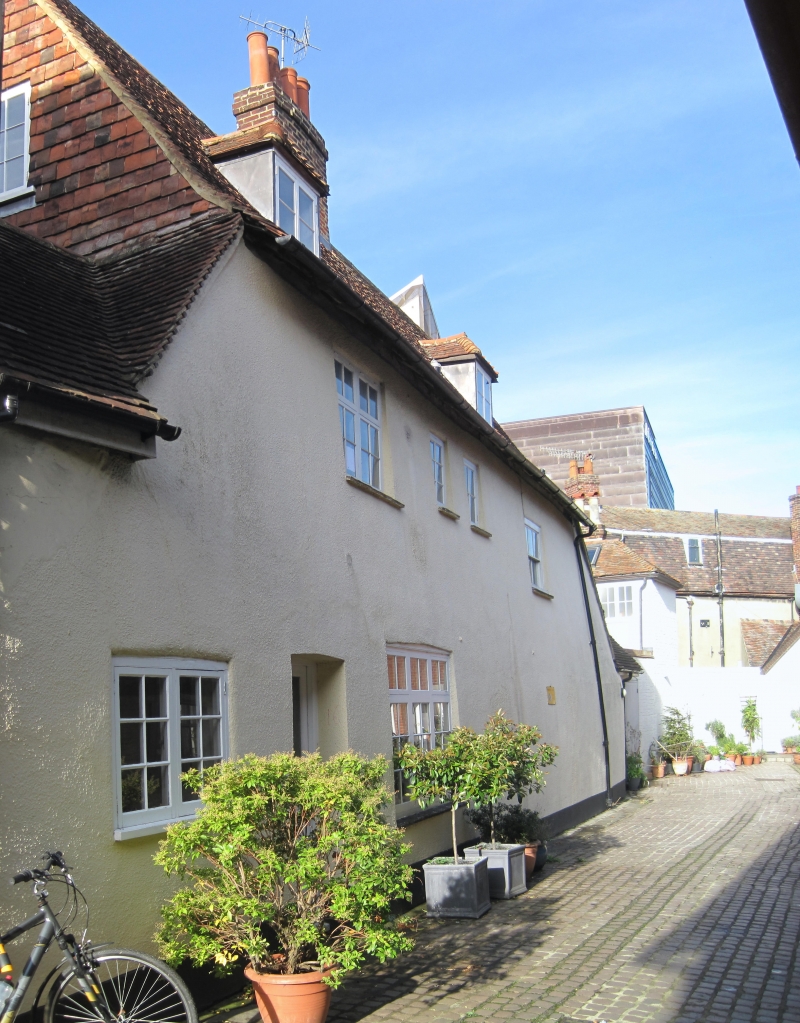
1.
944 THE FRIARS
Nos 16 & 17
TR 1457 BE 4/297
II GV
2.
The return side of this building is in All Saints Lane. C18 exterior to
a C16 timber-framed building. 2 storeys rough cast. Renewed tiled roof
with central brick stack. Tile-hung gable. Roof slopes to ground floor.
2 sashes with glazing bars intact set in moulded architraves. C18 open pedimented
doorcase with pilasters and 6 panelled door.
Nos 11 to 18 (consec) form a group.
Also formsa group with barn on the North West side of All Saints Lane.
Listing NGR: TR1479757994
External links are from the relevant listing authority and, where applicable, Wikidata. Wikidata IDs may be related buildings as well as this specific building. If you want to add or update a link, you will need to do so by editing the Wikidata entry.


Other nearby listed buildings
