Approximate Location Map
Large Map »
Latitude: 51.2781 / 51°16'41"N
Longitude: 1.0789 / 1°4'44"E
OS Eastings: 614832
OS Northings: 157717
OS Grid: TR148577
Mapcode National: GBR TY2.X5B
Mapcode Global: VHLGM.N47K
Plus Code: 9F3373HH+6H
Entry Name: 2, Hawks Lane
Listing Date: 7 September 1973
Grade: II
Source: Historic England
Source ID: 1085020
English Heritage Legacy ID: 170629
ID on this website: 101085020
Location: Canterbury, Kent, CT1
County: Kent
District: Canterbury
Electoral Ward/Division: Westgate
Parish: Non Civil Parish
Built-Up Area: Canterbury
Traditional County: Kent
Lieutenancy Area (Ceremonial County): Kent
Tagged with: Building
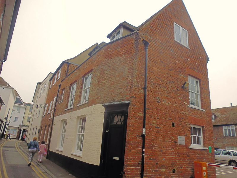
1.
944 HAWKS LANE
(South West Side)
No 2
TR 1457 NE 4/505
II GV
2.
Early C19. 2 storeys brick. Old tiled roof. 2 sashes with glazing bars
intact. Right side doorcase has a cornice, plain pilasters, rectangular
fanlight with semi-circular glazing bars and a 6 panelled door, Stone step.
Footscraper.
Nos 1,2, extension to No 6 & Nos 6 to 15 (consec) form a group.
Listing NGR: TR1483057718
External links are from the relevant listing authority and, where applicable, Wikidata. Wikidata IDs may be related buildings as well as this specific building. If you want to add or update a link, you will need to do so by editing the Wikidata entry.


Other nearby listed buildings
